Field Names · Undated
In den Brüchern


© GeoBasis-DE / LVermGeoRP, dl-de/by-2-0
There is no picture of this object yet. Do you have a photo that you would like to make available to the Kulturdatenbank? Submit a picture
Description
This description is only available in German.
Translate with Google opens this page in Google Translate (external service)
Bruch – (Broich, Brok und andere) Bedeutung: 1. Sumpf, Moorland, Sumpfstelle in einer Wiese, Strauchdickicht am Wasser, sumpfige Buschparzelle. Waldung. 2. Ort, wo Steine gebrochen werden. [1]
Classification
- Subject area
- History
- Category
- Field Names
- Date
- Undatiert
- Period
- Undated
Location
- District
- Vulkaneifel
- Town
- Gerolstein
- Locality / location
- Michelbach
- Field name
- In den Brüchern
- Coordinates
- WGS 84: 50.169304, 6.696644 (Position: exact) WGS 84: 50° 10′ 09.5″ N, 6° 41′ 47.9″ E UTM 32 (ETRS89): E 335514 · N 5559995
Sources
Data sources
- [1] Dittmaier, Heinrich: Rheinische Flurnamen. Ludwig Röhrscheid Verlag, Bonn, 1963.
On the internet
Last edited: 5 Nov 2022 Object ID: 52083
https://kulturdb.de/en/objekt/52083-gerolstein-in-den-bruechern
Nearby
The nearest objects
 440 m
Surveying
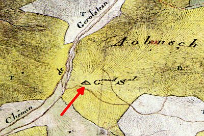
Tranchot-Dreieckspunkt auf dem Prümscheid
Field Names
Auf Eichenröder
 1.1 km
Viewpoints
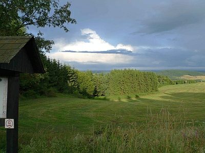
Aussichtspunkt Parkplatz Grindelborn
 1.1 km
Oaks
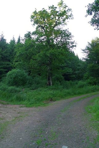
Kreuzeiche
 1.4 km
Springs
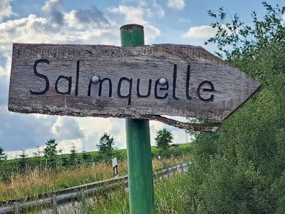
Quelle der Salm
 1.4 km
Viewpoints
Aussichtspunkt nördlich der Ortslage
 1.6 km
Field Names
Auf dem Weinweg
Field Names