Field Names · Undated
An der Schleeheck


Description
This description is only available in German.
Translate with Google opens this page in Google Translate (external service)
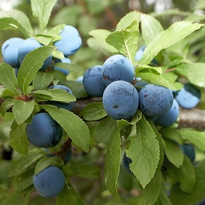
Schle(h)e — Bedeutung: Schlehe (Prunus spinosa). [1]
Classification
- Subject area
- History
- Category
- Field Names
- Date
- Undatiert
- Period
- Undated
Location
- District
- Vulkaneifel
- Collective municipality
- Gerolstein
- Municipality
- Kerpen (Eifel)
- Locality / location
- Kerpen
- Field name
- An der Schleeheck
- Coordinates
- WGS 84: 50.303081, 6.718211 (Position: exact) WGS 84: 50° 18′ 11.1″ N, 6° 43′ 05.6″ E UTM 32 (ETRS89): E 337509 · N 5574820
Sources
Data sources
- [1] Dittmaier, Heinrich: Rheinische Flurnamen. Ludwig Röhrscheid Verlag, Bonn, 1963.
On the internet
Picture credits
Last edited: 29 Jan 2023 Object ID: 52226
https://kulturdb.de/en/objekt/52226-kerpen-eifel-an-der-schleeheck
Nearby
The nearest objects
 230 m
Field Names
An der Schleeheck
 310 m
Execution Sites
Kerpener Galgen auf dem Koberg
No picture
400 m
Field Names
Vorn auf dem Scheid
No picture
430 m
Settlements
Römische Siedlungsstelle
No picture
440 m
Volcanoes
Vulkan Kerpener Maar
No picture
450 m
Field Names
Oben auf dem Scheid
No picture
560 m
Field Names
Unten auf dem Scheid
No picture
660 m
Field Names