Field Names · Undated
Reiserheck


© GeoBasis-DE / LVermGeoRP, dl-de/by-2-0
There is no picture of this object yet. Do you have a photo that you would like to make available to the Kulturdatenbank? Submit a picture
Description
This description is only available in German.
Translate with Google opens this page in Google Translate (external service)
Reis — Bedeutung: Waldteil, in dem es gestattet ist, Reishollz für die Bedürfnisse der Landwirtschaft zu holen; dann kollektiv: Wald, der überwiegend aus Buschwerk besteht, aus dem man nichts anderes als Reisig holen kann. [1]
Classification
- Subject area
- History
- Category
- Field Names
- Date
- Undatiert
- Period
- Undated
Location
- District
- Trier-Saarburg
- Collective municipality
- Ruwer
- Municipality
- Mertesdorf
- Field name
- Reiserheck
- Coordinates
- WGS 84: 49.780694, 6.750643 (Position: exact) WGS 84: 49° 46′ 50.5″ N, 6° 45′ 02.3″ E UTM 32 (ETRS89): E 338070 · N 5516675
Sources
Data sources
- [1] Dittmaier, Heinrich: Rheinische Flurnamen. Ludwig Röhrscheid Verlag, Bonn, 1963.
On the internet
Last edited: 5 Feb 2023 Object ID: 52269
https://kulturdb.de/en/objekt/52269-mertesdorf-reiserheck
Nearby
The nearest objects
Field Names
Im Reiserhecksecken
Field Names
Reiserhecks Ecken
Field Names
Auf der Sang
 820 m
Settlements
Römische Baureste
 820 m
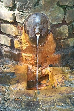
Mineral Springs
Longuicher Sauerbrunnen
Vineyard Sites
Herrenberg
Viewpoints
Aussichtspunkt Kahlenberg
Field Names