Street Names · 20th Century
Im Sabel


Description
This description is only available in German.
Translate with Google opens this page in Google Translate (external service)
Entstanden aus französisch: le sable – lat. Sabulum = der (grobe) Sand. Im Hochmittelalter aus dem französischen entlehnt.
Vorheriger Name: Philosophenweg [1]
Classification
- Subject area
- History
- Category
- Place Names / Local History
- Object type
- Street Names
- Date
- 1969
- Period
- 20th Century
Location
- District
- City of Trier
- Collective municipality
- Verbandsfreie Gemeinde Trier
- Town
- Trier
- Locality / location
- Trier-West/Pallien
- Street
- Im Sabel
- Field name
- Ortslage
- Coordinates
- WGS 84: 49.763047, 6.627905 (Position: exact) WGS 84: 49° 45′ 47.0″ N, 6° 37′ 40.5″ E UTM 32 (ETRS89): E 329173 · N 5514986
Sources
Data sources
- [1] © Stadt Trier (2021) / dl-de/by2-0, www.trier.de, [Daten bearbeitet].
- Grundlage der Datenerfassung: "Die Straßennamen der Stadt Trier.“ Nach Vorarbeiten von Emil Zenz, herausgegeben vom Kulturbüro der Stadt Trier, 2006.
On the internet
Picture credits
Last edited: 7 Apr 2023 Object ID: 52397
https://kulturdb.de/en/objekt/52397-trier-west-pallien-im-sabel
Nearby
The nearest objects
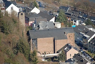 50 m
Catholic Churches
Maria-Königin - Kampanile
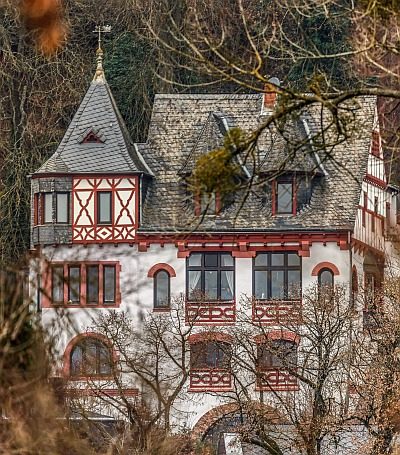 60 m
Town Houses and Commercial Buildings
Villa Im Sabel 6
 60 m
Organs
Maria-Königin - Walcker-Orgel
60 m
Catholic Churches
Ehemalige Kirche Maria-Königin
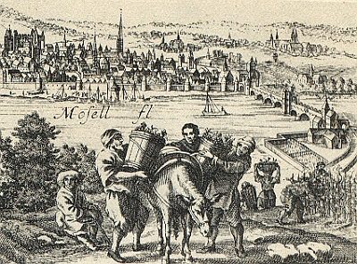 70 m
Vineyard Sites
Im Sabel (bei Pallien)
 90 m
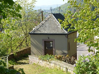
Town Houses and Commercial Buildings
Villa Reverchon - Gartenhaus
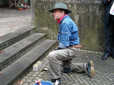 90 m
Stolpersteine (Stumbling Stones)
Stolperstein für Andreas Hoevel
Town Houses and Commercial Buildings