Field Names · Undated
In der Speckwies


© GeoBasis-DE / LVermGeoRP, dl-de/by-2-0
There is no picture of this object yet. Do you have a photo that you would like to make available to the Kulturdatenbank? Submit a picture
Description
This description is only available in German.
Translate with Google opens this page in Google Translate (external service)
„Speck (meist Beiwort), m., Bedeutung: wie neuhochdeutsch; zur Bezeichnung fetten, ertragreichen Bodens“ (Dittmaier). Die direkt am Oos-Bach gelgene Flur wird also eine fruchtbare Wiese oder Weide gewesen sein, heute wird sie als Ackerland genutzt. [1]
Classification
- Subject area
- History
- Category
- Field Names
- Date
- Undatiert
- Period
- Undated
Location
- District
- Vulkaneifel
- Collective municipality
- Gerolstein
- Municipality
- Steffeln
- Locality / location
- Auel
- Field name
- In der Speckwies
- Coordinates
- WGS 84: 50.278906, 6.569670 (Position: exact) WGS 84: 50° 16′ 44.1″ N, 6° 34′ 10.8″ E UTM 32 (ETRS89): E 326845 · N 5572467
Sources
Data sources
- [1] © Peter May: Die Flurnamen in der Gemarkung und im Aueler Wald in: 800 Jahre Auel. (2022) https://auel-800.jimdosite.com/
On the internet
Last edited: 6 May 2023 Object ID: 52455
https://kulturdb.de/en/objekt/52455-steffeln-in-der-speckwies
Nearby
The nearest objects
Field Names
Jenseits der Oos
Field Names
In der Huxgasse
Field Names
Auf Packerrech
Field Names
Unter dem Krederichsweg
 240 m
Wayside Shrines and Stations of the Cross
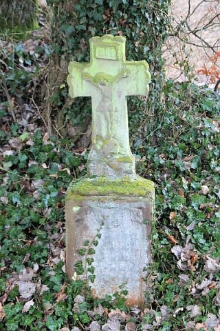
Kreuz Am Roten Graben
Field Names
Heidebeuel
Field Names
Vor dem Eichholz
Wayside Shrines and Stations of the Cross