Rocks · 20th Century
Kalkfelsenzug Meerbusch
Naturdenkmal
- Listed monument

Description
This description is only available in German.
Translate with Google opens this page in Google Translate (external service)
7 m hoher, 120 m langer und bis zu 40 m breiter Kalkfelsenzug mit einem Richtungsverlauf von Südwest nach Nordost; von Laubwald umgeben.
Classification
- Subject area
- Natural Features
- Category
- Rocks
- Date
- 25.09.1939 [Unterschutzstellung]
- Period
- 20th Century
Location
- District
- Vulkaneifel
- Collective municipality
- Gerolstein
- Municipality
- Üxheim
- Locality / location
- Nollenbach
- Field name
- Merbüsch
- Coordinates
- WGS 84: 50.322729, 6.741386 (Position: exact) WGS 84: 50° 19′ 21.8″ N, 6° 44′ 29.0″ E UTM 32 (ETRS89): E 339226 · N 5576954
Sources
Data sources
- Rita Gehendges: Naturdenkmale des Landkreises Daun. 1985. Hrsg.: Landkreis Daun.
On the internet
Picture credits
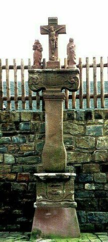
- Picture 1: Peter Valerius, Kordel, 2005.
Last edited: 21 Feb 2012 Object ID: 5269
https://kulturdb.de/en/objekt/5269-uexheim-kalkfelsenzug-meerbusch
Nearby
The nearest objects
Extraction and Processing of Raw Materials
Kalkstein-Abbau
Field Names
Die verbrannte Höstern
 410 m
Wayside Shrines and Stations of the Cross
Wegekreuz
Chapels
Kapelle
 520 m
Ash Trees
Esche
Field Names
In Hechelroth
Field Names
In der Muhl
 740 m
Settlements