Field Names · Undated
Die Stierwies


© GeoBasis-DE / LVermGeoRP, dl-de/by-2-0
There is no picture of this object yet. Do you have a photo that you would like to make available to the Kulturdatenbank? Submit a picture
Description
This description is only available in German.
Translate with Google opens this page in Google Translate (external service)
Classification
- Subject area
- History
- Category
- Field Names
- Date
- Undatiert
- Period
- Undated
Location
- District
- Vulkaneifel
- Collective municipality
- Daun
- Municipality
- Schalkenmehren
- Field name
- Die Stierwies
- Coordinates
- WGS 84: 50.157697, 6.849113 (Position: exact) WGS 84: 50° 09′ 27.7″ N, 6° 50′ 56.8″ E UTM 32 (ETRS89): E 346363 · N 5558379
Sources
Data sources
- [1] Peter Valerius, Kordel, 2023.
- [2] "Stier-päsch", Rheinisches Wörterbuch, digitalisierte Fassung im Wörterbuchnetz des Trier Center for Digital Humanities, Version 01/23, <https://www.woerterbuchnetz.de/RhWB?lemid=S24870>, abgerufen am 25.09.2023. www.woerterbuchnetz.de/RhWB/Stier-päsch
On the internet
Last edited: 25 Sep 2023 Object ID: 52763
https://kulturdb.de/en/objekt/52763-schalkenmehren-die-stierwies
Nearby
The nearest objects
Volcanoes
Vulkan südlich vom Hohen List
Maars
Maar südlich vom Hohen List
Forest Names
Gemeindewald Schalkenmehren
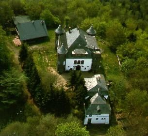 410 m
Deserted Settlements
Wüstung Alteburg
Volcanoes
Vulkan Altburg
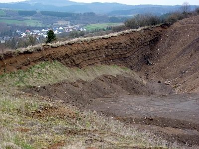 460 m
Extraction and Processing of Raw Materials
Lavaabbau am Johannisberg
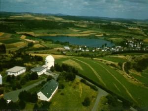 480 m
Observatories
Ehemaliges Observatorium Hoher List
Volcanoes