Rocks · 20th Century
Hang des Heidkopfes
Naturdenkmal
- Listed monument

Classification
- Subject area
- Natural Features
- Category
- Rocks
- Date
- 21.01.1948 [Unterschutzstellung]
- Period
- 20th Century
Location
- District
- Vulkaneifel
- Town
- Gerolstein
- Field name
- Scholzenrott
- Coordinates
- WGS 84: 50.212342, 6.677637 (Position: exact) WGS 84: 50° 12′ 44.4″ N, 6° 40′ 39.5″ E UTM 32 (ETRS89): E 334305 · N 5564821
Sources
Data sources
- Rita Gehendges: Naturdenkmale des Landkreises Daun. 1985. Hrsg.: Landkreis Daun.
On the internet
Picture credits
- Picture 1: Peter Valerius, Kordel, 2005.
Last edited: 21 Feb 2012 Object ID: 5277
https://kulturdb.de/en/objekt/5277-gerolstein-hang-des-heidkopfes
Nearby
The nearest objects
No picture
170 m
Field Names
Scholzenrott
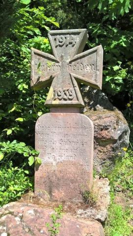 350 m
War Memorials
Kriegerdenkmal bei der Büschkapelle
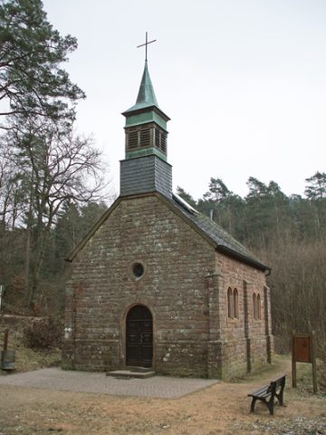 360 m
Pilgrimage Sites
Büschkapelle
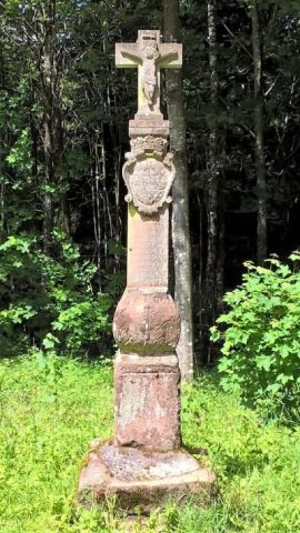 530 m
Wayside Shrines and Stations of the Cross
Grafenkreuz
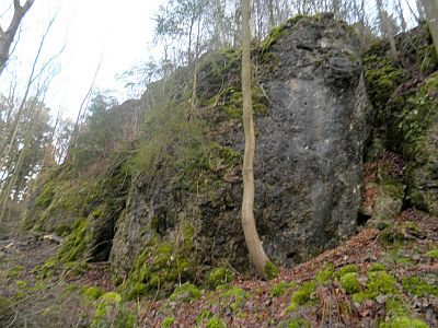 640 m
Rocks
Dolomitfelsen und Blöcke im Heiligenstein
No picture
750 m
Extraction and Processing of Raw Materials
Mühlsteinbruch am Krekelsberg
No picture
850 m
Extraction and Processing of Raw Materials
Lavatagebau Krekelsberg
No picture
850 m
Extraction and Processing of Raw Materials