Field Names · Undated
Stierwies


© GeoBasis-DE / LVermGeoRP, dl-de/by-2-0
There is no picture of this object yet. Do you have a photo that you would like to make available to the Kulturdatenbank? Submit a picture
Description
This description is only available in German.
Translate with Google opens this page in Google Translate (external service)
Classification
- Subject area
- History
- Category
- Field Names
- Date
- Undatiert
- Period
- Undated
Location
- District
- Vulkaneifel
- Collective municipality
- Daun
- Municipality
- Dreis-Brück
- Locality / location
- Dreis
- Field name
- Stierwies
- Coordinates
- WGS 84: 50.275444, 6.790786 (Position: exact) WGS 84: 50° 16′ 31.6″ N, 6° 47′ 26.8″ E UTM 32 (ETRS89): E 342586 · N 5571591
Sources
Data sources
- [1] Peter Valerius, Kordel, 2023.
- [2] "Stier-päsch", Rheinisches Wörterbuch, digitalisierte Fassung im Wörterbuchnetz des Trier Center for Digital Humanities, Version 01/23, <https://www.woerterbuchnetz.de/RhWB?lemid=S24870>, abgerufen am 25.09.2023. www.woerterbuchnetz.de/RhWB/Stier-päsch
On the internet
Last edited: 25 Sep 2023 Object ID: 52783
https://kulturdb.de/en/objekt/52783-dreis-brueck-stierwies
Nearby
The nearest objects
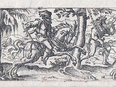 160 m
Field Names
Aufm Tiergarten
230 m
Field Names
Vor dem Raubusch am Tiergarten
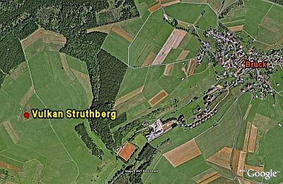 410 m
Volcanoes
Vulkan Struthberg
No picture
450 m
Field Names
Unter der Rothenheck
No picture
590 m
Field Names
Unter Paulsdriesch
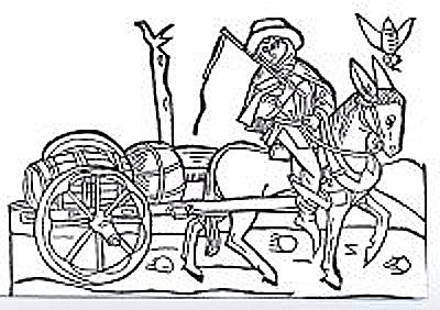 600 m
Road Transport
Trasse der Weinstraße (3)
No picture
610 m
Field Names
Aufm Dellerberg am Birkenweg
No picture
720 m
Field Names