Field Names · Undated
In der Naßanwand


© GeoBasis-DE / LVermGeoRP, dl-de/by-2-0
There is no picture of this object yet. Do you have a photo that you would like to make available to the Kulturdatenbank? Submit a picture
Description
This description is only available in German.
Translate with Google opens this page in Google Translate (external service)
Nass = Nasses Gelände
Anwand = Die schmale Seite des Ackers, wo der Pflug wendet; auch Flurstücke, auf deren Langseite andere Flurstücke 'mit dem Kopf' aufstoßen, deren Besitzer berechtigt sind, dort ihren Pflug zu wenden. [1]
Classification
- Subject area
- History
- Category
- Field Names
- Date
- Undatiert
- Period
- Undated
Location
- District
- Trier-Saarburg
- Collective municipality
- Trier-Land
- Municipality
- Kordel
- Street
- Edenstraße
- Field name
- In der Naßanwand
- Coordinates
- WGS 84: 49.842426, 6.636059 (Position: exact) WGS 84: 49° 50′ 32.7″ N, 6° 38′ 09.8″ E UTM 32 (ETRS89): E 330038 · N 5523792
Sources
Data sources
- [1] Archiv der Ortsgemeinde Kordel, 2023.
On the internet
Last edited: 24 Oct 2023 Object ID: 52844
https://kulturdb.de/en/objekt/52844-kordel-in-der-nassanwand
Nearby
The nearest objects
 40 m
Street Names
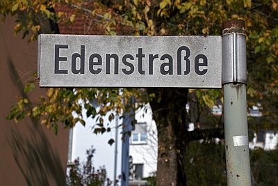
Edenstraße
 110 m
Field Names
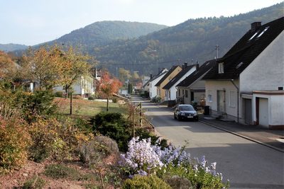
Ober dem Dorf
 110 m
Field Names
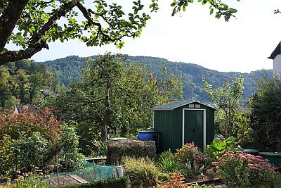
Hinterste Gass ober dem Weg
 120 m
Schools
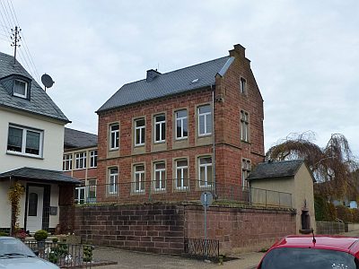
Schulgebäude
 120 m
Schools
Schulgebäude - Historische Aufnahmen
120 m
Military Hospitals
Ehemaliges Frontlazarett
 130 m
Chapels
Marienkapelle
 150 m
Farmhouses and Farm Buildings