Flood Marks · Undated
Haus Spielesplatz 5 - Hochwassermarken


Description
This description is only available in German.
Translate with Google opens this page in Google Translate (external service)
Am Haus Spielesplatz 5 (Restaurant "Zum Anker) sind eine Hochwassermarke mit einem theoretischen Hochwasserstand und darunter 4 Marken mit historischen Hochwasserständen angebracht (von oben nach unten):
Theoretischer Hochwasserstand
am 21. Dezember 1993
ohne Hochwasserschutzdamm
11.28m
---------
H.W.
------
31.12.47 / 1.1.48
HW
----
1920
HOCHWASSER
NEUJAHR 1925-26
---------------------
STAND AM 31. DEZ. 25
HOCHWASSER
-----------------
JAN. 1955
Classification
- Subject area
- Architectural and Art Monuments
- Category
- Markers and Monuments
- Object type
- Flood Marks
- Date
- Undatiert
- Period
- Undated
Location
- District
- City of Trier
- Collective municipality
- Verbandsfreie Gemeinde Trier
- Town
- Trier
- Locality / location
- Pfalzel
- Street
- Spielesplatz 5
- Field name
- Ortslage
- Coordinates
- WGS 84: 49.779443, 6.692492 (Position: exact) WGS 84: 49° 46′ 46.0″ N, 6° 41′ 33.0″ E UTM 32 (ETRS89): E 333880 · N 5516663
Sources
Data sources
- [1] Michael Grün, Trier, 2024.
On the internet
Picture credits
Last edited: 16 Jan 2024 Object ID: 53019
https://kulturdb.de/en/objekt/53019-trier-haus-spielesplatz-5-hochwassermarken
Nearby
The nearest objects
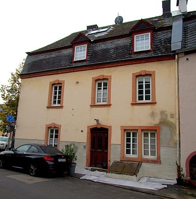 10 m
Town Houses and Commercial Buildings
Barocker Mansarddachbau
Town Fortifications
Moseltor
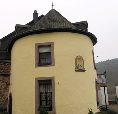 20 m
Town Fortifications
Zollturm
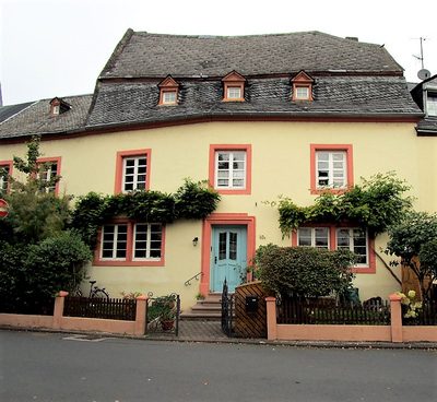 30 m
Farmhouses and Farm Buildings
Mansarddachbau Spielesplatz 10
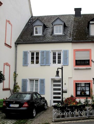 30 m
Town Houses and Commercial Buildings
Wohnhaus
 40 m
Stolpersteine (Stumbling Stones)
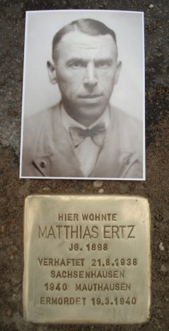
Stolperstein für Matthias Ertz
Street Names
Spielesplatz
 50 m
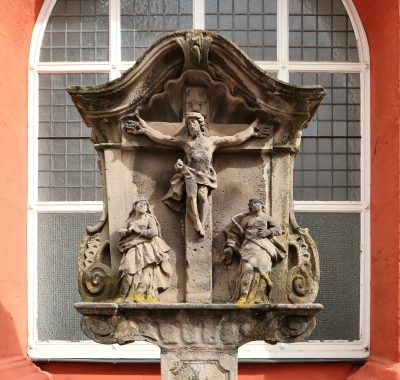
Wayside Shrines and Stations of the Cross