Shooting Ranges · Historicism / Art Nouveau
Ehemaliges Schießhaus


© GeoBasis-DE / LVermGeoRP, dl-de/by-2-0
There is no picture of this object yet. Do you have a photo that you would like to make available to the Kulturdatenbank? Submit a picture
Classification
- Subject area
- Architectural and Art Monuments
- Category
- Recreation and Sports Facilities
- Object type
- Shooting Ranges
- Date
- 1915
Location
- District
- Bernkastel-Wittlich
- Town
- Bernkastel-Kues
- Locality / location
- Kues
- Street
- Schützenweg
- Field name
- Ortslage
- Coordinates
- WGS 84: 49.923727, 7.060034 (Position: exact) WGS 84: 49° 55′ 25.4″ N, 7° 03′ 36.1″ E UTM 32 (ETRS89): E 360753 · N 5531955
Sources
Data sources
- [1] Topographische Karte 1:25000 von 1915 https://geo4.service24.rlp.de/client/lf/lawa/
On the internet
Last edited: 25 Jan 2024 Object ID: 53038
https://kulturdb.de/en/objekt/53038-bernkastel-kues-ehemaliges-schiesshaus
Nearby
The nearest objects
 220 m
Commemorative Plantings
Ehemaliger Kaisergarten
 320 m
Settlements
Römische Siedlung
No picture
390 m
Wayside Shrines and Stations of the Cross
Schaftkreuz
No picture
530 m
Cremation Graves
Frührömische Brandgräber
No picture
550 m
Catering, Inns and Hotels
Ehemalige Bürger-Bräu Bierbrauerei P. Schmitgen
No picture
590 m
Museums
Zylinderhaus - Museum für Oldtimer und Technik
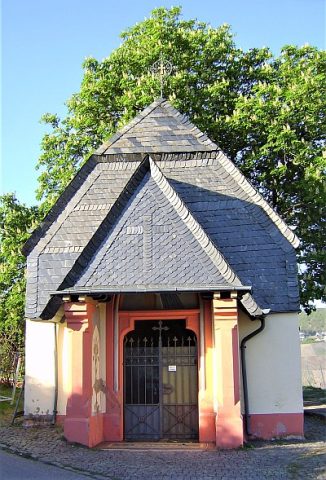 600 m
Chapels
Fierskapelle
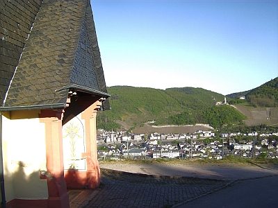 610 m
Viewpoints