Field Names · Undated
Auf Birk


© GeoBasis-DE / LVermGeoRP, dl-de/by-2-0
There is no picture of this object yet. Do you have a photo that you would like to make available to the Kulturdatenbank? Submit a picture
Description
This description is only available in German.
Translate with Google opens this page in Google Translate (external service)
Birk – Bedeutung: Im Sinne von Birkengebüsch , -wald. [1]
Classification
- Subject area
- History
- Category
- Field Names
- Date
- Undatiert
- Period
- Undated
Location
- District
- Vulkaneifel
- Collective municipality
- Gerolstein
- Municipality
- Kalenborn-Scheuern
- Locality / location
- Kalenborn
- Street
- Birkenweg
- Field name
- Auf Birk
- Coordinates
- WGS 84: 50.255443, 6.604115 (Position: exact) WGS 84: 50° 15′ 19.6″ N, 6° 36′ 14.8″ E UTM 32 (ETRS89): E 329214 · N 5569779
Sources
Data sources
- [1] Dittmaier, Heinrich: Rheinische Flurnamen. Ludwig Röhrscheid Verlag, Bonn, 1963.
On the internet
Last edited: 18 Feb 2024 Object ID: 53088
https://kulturdb.de/en/objekt/53088-kalenborn-scheuern-auf-birk
Nearby
The nearest objects
Field Names
An der Buch
Lime Kilns
Ehemaliger Kalkofen
Lime Kilns
Ehemaliger Kalkofen
Field Names
Auf der Buch
Field Names
Lenzerrath
Chapels
Sankt Ignatius und Sankt Wendelin
 350 m
Coats of Arms
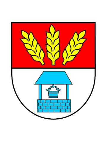
Wappen der Gemeinde Kalenborn-Scheuern
 390 m
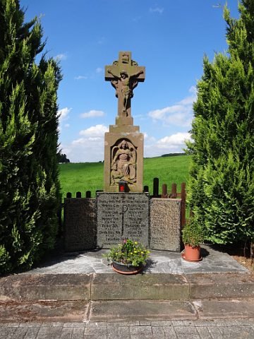
War Memorials