Field Names · Undated
Froschwiese


© GeoBasis-DE / LVermGeoRP, dl-de/by-2-0
There is no picture of this object yet. Do you have a photo that you would like to make available to the Kulturdatenbank? Submit a picture
Description
This description is only available in German.
Translate with Google opens this page in Google Translate (external service)
Frosch – Wohl meist zu althochdeutsch frosg, mittelhochdeutsch vrosch, starkes Maskulinum 'Frosch', nach dem Vorkommen der Tiere. [1]
Classification
- Subject area
- History
- Category
- Field Names
- Date
- Undatiert
- Period
- Undated
Location
- District
- Vulkaneifel
- Collective municipality
- Gerolstein
- Municipality
- Kalenborn-Scheuern
- Locality / location
- Kalenborn
- Field name
- Froschwiese
- Coordinates
- WGS 84: 50.264004, 6.607293 (Position: exact) WGS 84: 50° 15′ 50.4″ N, 6° 36′ 26.3″ E UTM 32 (ETRS89): E 329472 · N 5570723
Sources
Data sources
- [1] © Hessisches Flurnamenarchiv Gießen / Prof. Dr. Hans Ramge
On the internet
Last edited: 20 Feb 2024 Object ID: 53091
https://kulturdb.de/en/objekt/53091-kalenborn-scheuern-froschwiese
Nearby
The nearest objects
Field Names
Im Bungert
Field Names
Bungert
Field Names
Am Rotherberg
Field Names
Auf dem Bornberg
Field Names
In der Lehmkaul
Field Names
Im Sauerborn
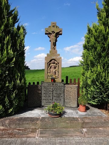 590 m
War Memorials
Kriegerdenkmal 1914/18
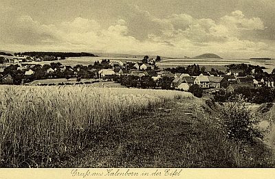 620 m
Place Names / Local History