Trees · Undated
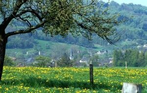
Zierbaum
Zwischen Pfarrkirche und Friedhof
- Listed monument

Classification
- Subject area
- Natural Features
- Category
- Trees
- Date
- Undatiert
- Period
- Undated
Location
- District
- Eifelkreis Bitburg-Prüm
- Collective municipality
- Bitburger Land
- Municipality
- Wolsfeld
- Field name
- Ortslage
- Coordinates
- WGS 84: 49.907099, 6.468257 (Position: exact) WGS 84: 49° 54′ 25.6″ N, 6° 28′ 05.7″ E UTM 32 (ETRS89): E 318218 · N 5531375
Sources
Data sources
- [1] Wanderkarten im Maßstab 1:50.000 und 1:25.000.
On the internet
bitburgerland.de/index.php?id=514
Picture credits
- Picture 1: Peter Valerius, Kordel, 2005.
Last edited: 17 Jul 2002 Object ID: 5361
https://kulturdb.de/en/objekt/5361-wolsfeld-zierbaum
Nearby
The nearest objects
 20 m
Settlements
Römische Siedlungsreste
 30 m
Catholic Churches
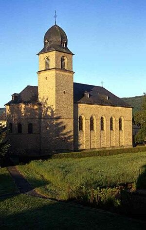
Sankt Hubertus
 30 m
Altars
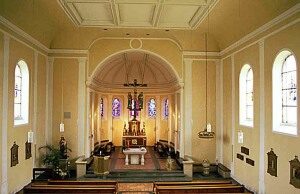
Sankt Hubertus - Altar
No picture
70 m
Town Halls
Altes Rathaus von 1907
No picture
70 m
Farmhouses and Farm Buildings
Gründerzeitliches Wohnhaus
 150 m
Place Names / Local History
Ortsname
 150 m
Coats of Arms
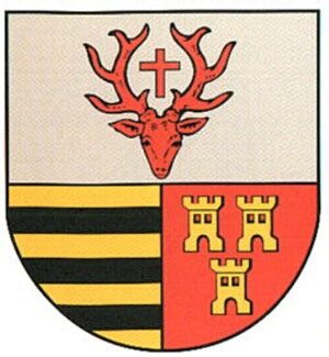
Wappen der Gemeinde Wolsfeld
 170 m
Historic Townscapes