Fountains and Wells · Neoclassicism
Ehemaliger Calter Brunnen
- Listed monument


© GeoBasis-DE / LVermGeoRP, dl-de/by-2-0
There is no picture of this object yet. Do you have a photo that you would like to make available to the Kulturdatenbank? Submit a picture
Classification
- Subject area
- Architectural and Art Monuments
- Category
- Fountains and Wells
- Date
- 1811
- Period
- Neoclassicism
Location
- District
- Bernkastel-Wittlich
- Collective municipality
- Wittlich-Land
- Municipality
- Meerfeld
- Field name
- Tiefengraben
- Coordinates
- WGS 84: 50.074276, 6.721217 (Position: exact) WGS 84: 50° 04′ 27.4″ N, 6° 43′ 16.4″ E UTM 32 (ETRS89): E 336946 · N 5549376
Sources
Data sources
- [1] Kartenaufnahme der Rheinlande durch Tranchot und von Müffling (1803-1820) Blattnummer: 179, Jahrgang: 1811. Blattname: Eisenschmitt, Aufnahme Ing. Geograph Boucher.
On the internet
Last edited: 30 Sep 2024 Object ID: 53687
https://kulturdb.de/en/objekt/53687-meerfeld-ehemaliger-calter-brunnen
Nearby
The nearest objects
 920 m
Charcoal Kilns
Ehemaliger Meilerplatz
1,000 m
Charcoal Kilns
Ehemaliger Meilerplatz
1.0 km
Charcoal Kilns
Ehemaliger Meilerplatz
1.1 km
Charcoal Kilns
Ehemaliger Meilerplatz
1.1 km
Charcoal Kilns
Ehemaliger Meilerplatz
1.1 km
Charcoal Kilns
Ehemaliger Meilerplatz
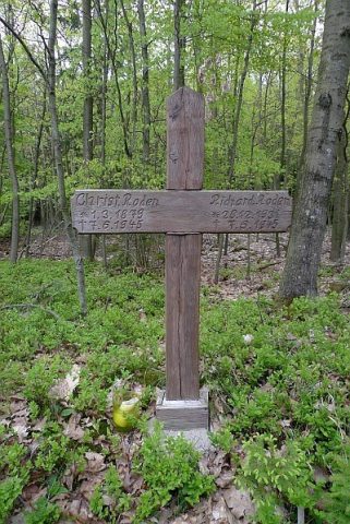 1.2 km
Wayside Shrines and Stations of the Cross
Sogenanntes Roden-Kreuz
No picture
1.3 km
Deserted Settlements