Rocks · 20th Century
Kalkfelsen
Naturdenkmal
- Listed monument

Description
This description is only available in German.
Translate with Google opens this page in Google Translate (external service)
Ca. 100 m nördlich der Kapelle von Bolsdorf, im Bolsdorfer Tälchen. [1]
Classification
- Subject area
- Natural Features
- Category
- Rocks
- Date
- 16.04.1938 [Unterschutzstellung]
- Period
- 20th Century
Location
- District
- Vulkaneifel
- Collective municipality
- Gerolstein
- Town
- Hillesheim
- Locality / location
- Bolsdorf
- Field name
- Aulerberg
- Coordinates
- WGS 84: 50.275232, 6.658301 (Position: exact) WGS 84: 50° 16′ 30.8″ N, 6° 39′ 29.9″ E UTM 32 (ETRS89): E 333146 · N 5571856
Sources
Data sources
- [1] Rita Gehendges: Naturdenkmale des Landkreises Daun. 1985. Hrsg.: Landkreis Daun.
- [2] LANIS - Landschaftsinformationssysten der Naturschutzverwaltung Rheinland-Pfalz, 2015. http://www.naturschutz.rlp.de/?q=naturdenkmal
On the internet
Picture credits
- Picture 1: Peter Valerius, Kordel, 2005.
Last edited: 21 Feb 2012 Object ID: 5537
https://kulturdb.de/en/objekt/5537-hillesheim-kalkfelsen
Nearby
The nearest objects
Field Names
Im Büschpesch
Wayside Shrines and Stations of the Cross
Pfeilerkreuz auf dem Friedhof
Wayside Shrines and Stations of the Cross
Wegekreuz am Friedhof
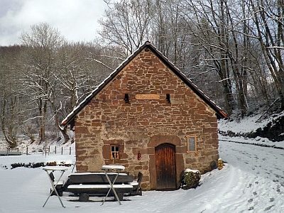 130 m
Farmhouses and Farm Buildings
Backhaus
Farmhouses and Farm Buildings
Wohn- und Wirtschaftsgebäude
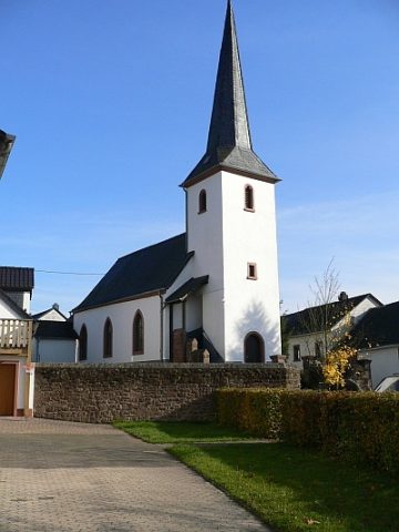 200 m
Catholic Churches
Sankt Margaretha
Farmhouses and Farm Buildings
Wohnhaus
Extraction and Processing of Raw Materials