Road Transport · Celtic / Roman Period
Spuren einer Römerstraße


Description
This description is only available in German.
Translate with Google opens this page in Google Translate (external service)
Nordöstlich des Naturdenkmals Rote Ley. [1]
Classification
- Subject area
- Archaeological Monuments
- Category
- Economy, Trade and Transport
- Object type
- Road Transport
- Date
- Circa 500 vor Chr. bis circa 500 nach Chr.
- Period
- Celtic / Roman Period
Location
- District
- Eifelkreis Bitburg-Prüm
- Collective municipality
- Prüm
- Municipality
- Büdesheim
- Field name
- Hinten im Hermesberg
- Coordinates
- WGS 84: 50.221868, 6.578773 (Position: exact) WGS 84: 50° 13′ 18.7″ N, 6° 34′ 43.6″ E UTM 32 (ETRS89): E 327287 · N 5566105
Sources
Data sources
- [1] Wanderkarte 1:25.000 Nr. 19 des Eifelvereins "Vulkaneifel um Gerolstein". Hrsg. VG Gerolstein in Zusammenarbeit mit dem Eifelverein e.V. 4. Auflage 1996.
On the internet
eifeldorf-buedesheim.de/index.html
Picture credits
Last edited: 24 Sep 2010 Object ID: 5547
https://kulturdb.de/en/objekt/5547-buedesheim-spuren-einer-roemerstrasse
Nearby
The nearest objects
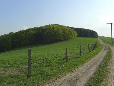 180 m
Standing Stones, Menhirs
Rotley oder Rote Ley
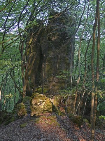 210 m
Rocks
Rotfels - 2. Abschnitt
240 m
Rocks
Rotfels - 1. Abschnitt
No picture
340 m
Field Names
Auf Haselt
 520 m
Field Names
Im Haargarten
No picture
590 m
Extraction and Processing of Raw Materials
Ehemalige Erzgrube
No picture
610 m
Extraction and Processing of Raw Materials
Ehemalige Erzgrube
No picture
660 m
Field Names