Field Names · Undated
Süßwies


© GeoBasis-DE / LVermGeoRP, dl-de/by-2-0
There is no picture of this object yet. Do you have a photo that you would like to make available to the Kulturdatenbank? Submit a picture
Description
This description is only available in German.
Translate with Google opens this page in Google Translate (external service)
Süß – Bedeutung: Bei Wiesen: mit saftigem, den Tieren bekömmlichen Gras bestanden; bei Wasser: Gegensatz zu Mineral-(Sauer-)Wasser; bei Äckern anscheinen von der Wiese übertragen: ergiebig. [1]
Classification
- Subject area
- History
- Category
- Field Names
- Date
- Undatiert
- Period
- Undated
Location
- District
- Vulkaneifel
- Town
- Gerolstein
- Locality / location
- Oos
- Field name
- Süßwies
- Coordinates
- WGS 84: 50.227255, 6.574857 (Position: exact) WGS 84: 50° 13′ 38.1″ N, 6° 34′ 29.5″ E UTM 32 (ETRS89): E 327027 · N 5566713
Sources
Data sources
- [1] Dittmaier, Heinrich: Rheinische Flurnamen. Ludwig Röhrscheid Verlag, Bonn, 1963.
On the internet
Last edited: 20 Mar 2019 Object ID: 48151
https://kulturdb.de/en/objekt/48151-gerolstein-suesswies
Nearby
The nearest objects
 260 m
Field Names
Im Haargarten
Field Names
Im Faulborn
Field Names
An der krummen Brück
Field Names
Auf Haselt
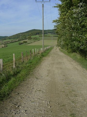 660 m
Road Transport
Spuren einer Römerstraße
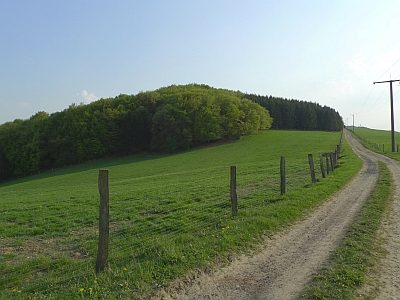 810 m
Standing Stones, Menhirs
Rotley oder Rote Ley
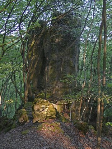 860 m
Rocks
Rotfels - 2. Abschnitt
900 m
Rocks