Field Names · Undated
Auf der Platz


© GeoBasis-DE / LVermGeoRP, dl-de/by-2-0
There is no picture of this object yet. Do you have a photo that you would like to make available to the Kulturdatenbank? Submit a picture
Description
This description is only available in German.
Translate with Google opens this page in Google Translate (external service)
Platz – Bedeutung: mhd. plaz, platz st. M. ‚freier Raum, Platz, Tanzplatz‘, einer Entlehnung aus altfranz. place ‚weiter, offener, freier Raum, Kampfplatz, Ort, Stelle‘. Namengebend waren größere, frei gelegene und ebene Flurstücke. Dies gilt für Markt- und Kirmesplätze, aber auch für Wiesen- und Ackerland. [1]
Classification
- Subject area
- History
- Category
- Field Names
- Date
- Undatiert
- Period
- Undated
Location
- District
- Trier-Saarburg
- Collective municipality
- Trier-Land
- Municipality
- Franzenheim
- Field name
- Auf der Platz
- Coordinates
- WGS 84: 49.704511, 6.670241 (Position: exact) WGS 84: 49° 42′ 16.2″ N, 6° 40′ 12.9″ E UTM 32 (ETRS89): E 332019 · N 5508383
Sources
Data sources
- [1] © Hessisches Flurnamenarchiv Gießen / Prof. Dr. Hans Ramge https://www.lagis-hessen.de/de/subjects/index/sn/fln
On the internet
Last edited: 8 Jun 2025 Object ID: 57223
https://kulturdb.de/en/objekt/57223-franzenheim-auf-der-platz
Nearby
The nearest objects
Field Names
Hinterste Platzhecke
Field Names
Vorderste Platzhecke
Field Names
Probacherbornheck
Field Names
Bei Probachsborn
Field Names
In den Buchenlängten
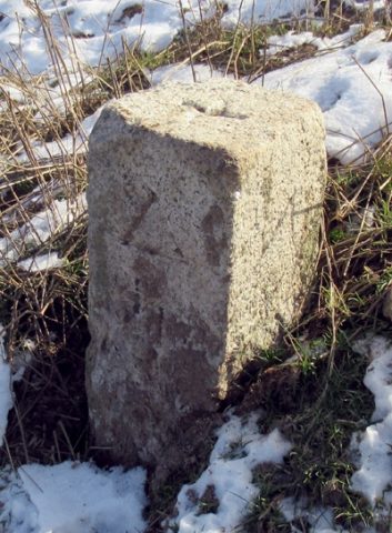 970 m
Surveying
Trigonometrischer Punkt "Auf der Höhe"
Field Names
Mühlgrund
 1.1 km
Field Names