Archaeological Conservation Areas · Undated
Grabungsschutzgebiet Mineralquelle Mohlsbach
- Listed monument


© GeoBasis-DE / LVermGeoRP, dl-de/by-2-0
There is no picture of this object yet. Do you have a photo that you would like to make available to the Kulturdatenbank? Submit a picture
Classification
- Subject area
- Archaeological Monuments
- Date
- Undatiert
- Period
- Undated
Location
- District
- Vulkaneifel
- Town
- Daun
- Locality / location
- Rengen
- Field name
- Ober dem Mohlbachskomp
- Coordinates
- WGS 84: 50.227671, 6.835209 (Position: exact) WGS 84: 50° 13′ 39.6″ N, 6° 50′ 06.8″ E UTM 32 (ETRS89): E 345596 · N 5566187
Sources
Data sources
- [1] Generaldirektion Kulturelles Erbe Rheinland-Pfalz (GDKE RLP), 2025.
On the internet
Last edited: 28 Sep 2025 Object ID: 57412
https://kulturdb.de/en/objekt/57412-daun-grabungsschutzgebiet-mineralquelle-mohlsbach
Nearby
The nearest objects
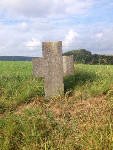 310 m
Wayside Shrines and Stations of the Cross
Sieben Fußfälle - 2. Station
320 m
Wayside Shrines and Stations of the Cross
Sieben Fußfälle - 3. Station
No picture
350 m
Field Names
Auf der Seitert
360 m
Wayside Shrines and Stations of the Cross
Sieben Fußfälle - 1. Station
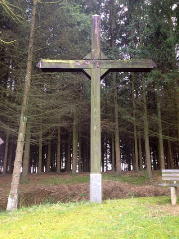 380 m
Wayside Shrines and Stations of the Cross
Genossenschaftskreuz
390 m
Wayside Shrines and Stations of the Cross
Sieben Fußfälle - 4. Station
No picture
410 m
Field Names
Auf der Held
No picture
410 m
Field Names