War Memorials · 20th Century
Kriegerdenkmal
- Listed monument


© GeoBasis-DE / LVermGeoRP, dl-de/by-2-0
There is no picture of this object yet. Do you have a photo that you would like to make available to the Kulturdatenbank? Submit a picture
Description
This description is only available in German.
Translate with Google opens this page in Google Translate (external service)
Auf dem Friedhof. Kriegerdenkmal 1914/18, Kreuzigungsgruppe, betender Soldat, bezeichnet 1922. [1]
Classification
- Subject area
- Architectural and Art Monuments
- Category
- Markers and Monuments
- Object type
- War Memorials
- Date
- 1922
- Period
- 20th Century
Location
- District
- Vulkaneifel
- Collective municipality
- Gerolstein
- Municipality
- Hohenfels-Essingen
- Locality / location
- Hohenfels
- Street
- Schulstraße
- Field name
- Ortslage
- Coordinates
- WGS 84: 50.250372, 6.735735 (Position: exact) WGS 84: 50° 15′ 01.3″ N, 6° 44′ 08.6″ E UTM 32 (ETRS89): E 338579 · N 5568922
Sources
Data sources
- [1] Denkmalliste des Landes Rheinland-Pfalz (Stand: 17. Juli 2023). https://de.wikipedia.org/wiki/Liste_der_Kulturdenkm%C3%A4ler_in_Hoh….
On the internet
Last edited: 29 Jul 2026 Object ID: 57710
https://kulturdb.de/en/objekt/57710-hohenfels-essingen-kriegerdenkmal
Nearby
The nearest objects
Catholic Churches
Katholische Filialkirche
Field Names
Am Büchelrech
Wayside Shrines and Stations of the Cross
Wegekreuz
Catholic Churches
Silvester-Kirche
Field Names
Im Geisenpesch
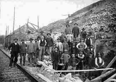 280 m
Railways
Ehemaliger Haltepunkt Hohenfels
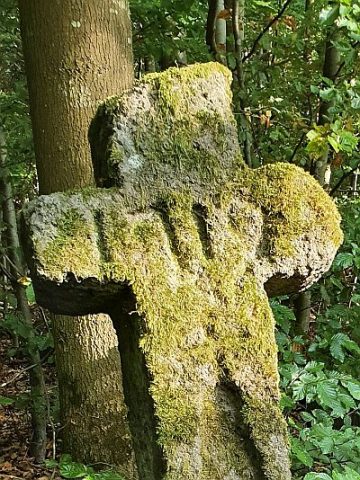 290 m
Wayside Shrines and Stations of the Cross
Wegekreuz am Mühlenberg
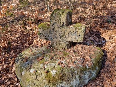 330 m
Wayside Shrines and Stations of the Cross