Road Transport · Celtic / Roman Period
Spuren einer Römerstraße


Description
This description is only available in German.
Translate with Google opens this page in Google Translate (external service)
Südlich der Ooser Nase an der Gemarkungsgrenze zu Büdesheim. [1]
Classification
- Subject area
- Archaeological Monuments
- Category
- Economy, Trade and Transport
- Object type
- Road Transport
- Date
- Circa 500 vor Chr. bis circa 500 nach Chr.
- Period
- Celtic / Roman Period
Location
- District
- Vulkaneifel
- Town
- Gerolstein
- Locality / location
- Oos
- Field name
- Haasendell
- Coordinates
- WGS 84: 50.226517, 6.589158 (Position: exact) WGS 84: 50° 13′ 35.5″ N, 6° 35′ 21.0″ E UTM 32 (ETRS89): E 328044 · N 5566598
Sources
Data sources
- [1] Wanderkarte 1:25.000 Nr. 19 des Eifelvereins "Vulkaneifel um Gerolstein". Hrsg. VG Gerolstein in Zusammenarbeit mit dem Eifelverein e.V. 4. Auflage 1996.
On the internet
Picture credits
Last edited: 27 Apr 2011 Object ID: 6268
https://kulturdb.de/en/objekt/6268-gerolstein-spuren-einer-roemerstrasse
Nearby
The nearest objects
No picture
110 m
Field Names
Haasendell
No picture
130 m
Field Names
Oben im Hasendell
No picture
200 m
Field Names
Haselt
No picture
250 m
Field Names
In Haasendell
No picture
270 m
Field Names
In Hasendell
No picture
300 m
Wayside Shrines and Stations of the Cross
Wegekreuz
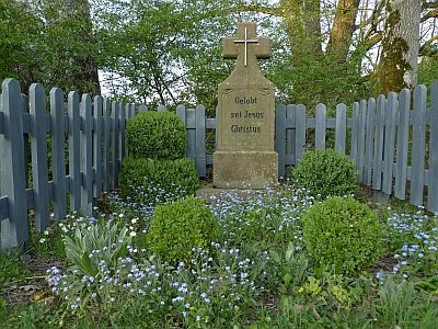 340 m
Wayside Shrines and Stations of the Cross
Schaftkreuz
No picture
420 m
Field Names