Road Transport · Celtic / Roman Period
Römerstraße
- Listed monument

Description
This description is only available in German.
Translate with Google opens this page in Google Translate (external service)
Nördlich des Ortsteils Birkenhof, zwischen Landesstraße 47 und Eisenbahn.
Classification
- Subject area
- Archaeological Monuments
- Category
- Economy, Trade and Transport
- Object type
- Road Transport
- Date
- Circa 500 vor Chr. bis circa 500 nach Chr.
- Period
- Celtic / Roman Period
Location
- District
- Bernkastel-Wittlich
- Collective municipality
- Wittlich-Land
- Municipality
- Hetzerath
- Locality / location
- Birkenhof
- Field name
- Beim Maarbruch
- Coordinates
- WGS 84: 49.871463, 6.793166 (Position: exact) WGS 84: 49° 52′ 17.3″ N, 6° 47′ 35.4″ E UTM 32 (ETRS89): E 341428 · N 5526675
Sources
Data sources
- [1] Digitale TK25. Landesamt für Vermessung und Geobasisinformation Rheinland-Pfalz. 2001 (ISBN 3-89637-345-5)
On the internet
Picture credits
- Picture 1: Igeler Säule (Detail), Nachzeichnung: Rheinisches Landesmusem
Last edited: 13 Aug 2007 Object ID: 6352
https://kulturdb.de/en/objekt/6352-hetzerath-roemerstrasse
Nearby
The nearest objects
No picture
30 m
Field Names
Beim Maarbruch
No picture
190 m
Roman Tombs
Fundament eines Grabmonumentes
No picture
330 m
Roman Tombs
Fundament eines Grabmonumentes
No picture
350 m
Field Names
In der Breitwies
No picture
390 m
Field Names
Im Maarbruch
No picture
690 m
Settlements
Römische Villenanlage
 830 m
Railways
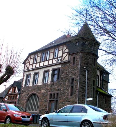
Bahnhof Hetzerath
 870 m
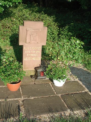
Pilgrimage Routes