Transport routier · Période celtique / romaine
Römerstraße
- Monument classé

Description
La description n'est disponible qu'en allemand.
Traduire avec Google ouvre la page dans Google Traduction (service externe)
Nördlich des Ortsteils Birkenhof, zwischen Landesstraße 47 und Eisenbahn.
Classification
- Catégorie
- Économie, commerce et transports
- Type d'objet
- Transport routier
- Date
- Circa 500 vor Chr. bis circa 500 nach Chr.
- Période
- Période celtique / romaine
Localisation
- Arrondissement
- Bernkastel-Wittlich
- Communauté de communes
- Wittlich-Land
- Commune
- Hetzerath
- Localité / emplacement
- Birkenhof
- Lieu-dit
- Beim Maarbruch
- Coordonnées
- WGS 84 : 49.871463, 6.793166 (Position : exacte) WGS 84 : 49° 52′ 17,3″ N, 6° 47′ 35,4″ E UTM 32 (ETRS89) : E 341428 · N 5526675
Sources
Sources des données
- [1] Digitale TK25. Landesamt für Vermessung und Geobasisinformation Rheinland-Pfalz. 2001 (ISBN 3-89637-345-5)
Sur Internet
Crédits photos
- Image 1: Igeler Säule (Detail), Nachzeichnung: Rheinisches Landesmusem
Dernière modification : 13 août 2007 Identifiant de l'objet : 6352
https://kulturdb.de/fr/objekt/6352-hetzerath-roemerstrasse
À proximité
Les objets les plus proches
Pas d'image
30 m
Lieux-dits
Beim Maarbruch
Pas d'image
190 m
Tombeaux romains
Fundament eines Grabmonumentes
Pas d'image
330 m
Tombeaux romains
Fundament eines Grabmonumentes
Pas d'image
350 m
Lieux-dits
In der Breitwies
Pas d'image
390 m
Lieux-dits
Im Maarbruch
Pas d'image
690 m
Localités
Römische Villenanlage
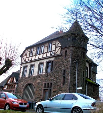 830 m
Chemins de fer
Bahnhof Hetzerath
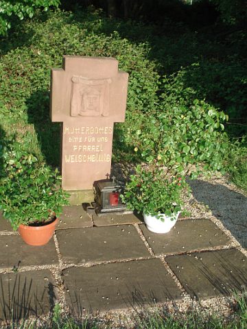 870 m
Itinéraires de pèlerinage