Wayside Shrines and Stations of the Cross · Undated
Adamskreuz


Description
This description is only available in German.
Translate with Google opens this page in Google Translate (external service)
An der Adamskreuzschneise. [1]
Classification
- Subject area
- Architectural and Art Monuments
- Category
- Religious Buildings
- Object type
- Wayside Shrines and Stations of the Cross
- Date
- Undatiert
- Period
- Undated
Location
- District
- Trier-Saarburg
- Collective municipality
- Hermeskeil
- Municipality
- Beuren (Hochwald)
- Locality / location
- Beuren
- Field name
- Hochwald
- Coordinates
- WGS 84: 49.703705, 6.876375 (Position: exact) WGS 84: 49° 42′ 13.3″ N, 6° 52′ 35.0″ E UTM 32 (ETRS89): E 346878 · N 5507853
Sources
Data sources
- [1] GeoPortal des Landes Rheinland-Pfalz. http://www.geoportal.rlp.de/
On the internet
Picture credits
Last edited: 5 Apr 2014 Object ID: 6373
https://kulturdb.de/en/objekt/6373-beuren-hochwald-adamskreuz
Nearby
The nearest objects
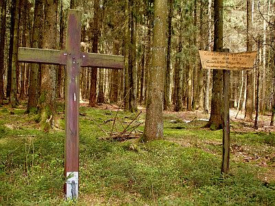 380 m
Wayside Shrines and Stations of the Cross
Gedenkkreuz
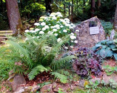 440 m
Monuments
Gedenkstein Sowjetische Kriegsgefangene
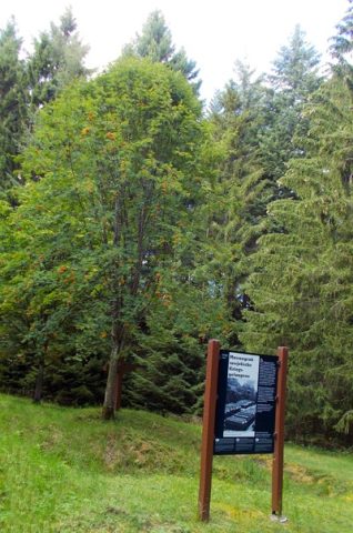 600 m
Burial Sites
Massengrab Sowjetische Kriegsgefangene
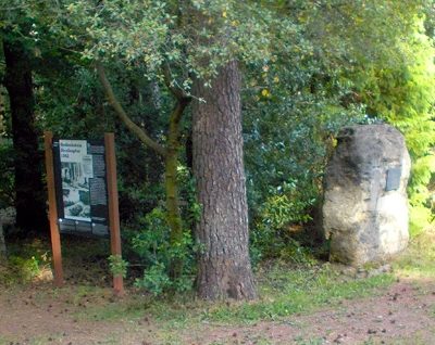 660 m
Monuments
Gedenkstein Luxemburger Streikopfer
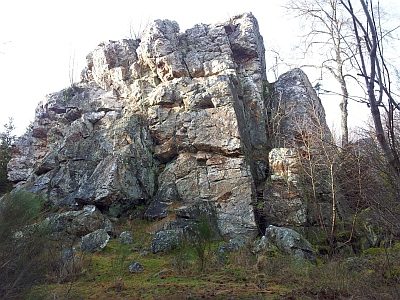 670 m
Quartzite Rocks
Graue Eltz
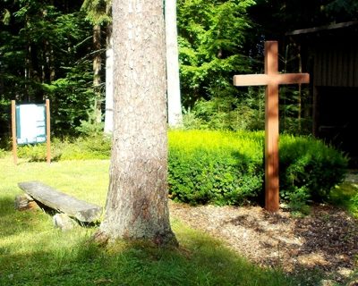 750 m
Exhibitions, Cultural Centres and Memorial Sites
Massengrab Luxemburger Streikopfer
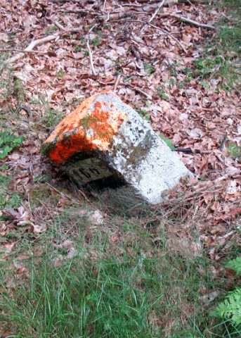 860 m
Surveying
Grenzstein Forstbezirk 106
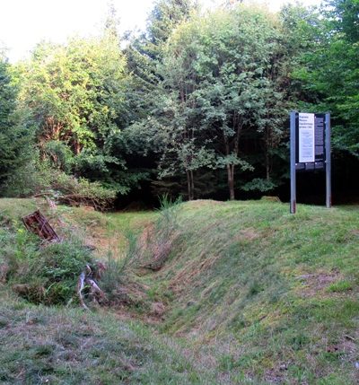 1.2 km
Exhibitions, Cultural Centres and Memorial Sites