Dry Maars · Undated
Trautzberg Maar


© GeoBasis-DE / LVermGeoRP, dl-de/by-2-0
There is no picture of this object yet. Do you have a photo that you would like to make available to the Kulturdatenbank? Submit a picture
Description
This description is only available in German.
Translate with Google opens this page in Google Translate (external service)
Das in den 1960er Jahren trockengelegte Trautzberger Maar ist wieder in ein Feuchtgebiet verwandelt worden. Es ist ein Projekt des Natur- und Geoparks Vulkaneifel, der sich auf die Fahne geschrieben hat, wieder mehr offene Wasserflächen zu schaffen, wo sich Tiere und Pflanzen ansiedeln können. [1]
Classification
- Subject area
- Natural Features
- Category
- Maars
- Object type
- Dry Maars
- Date
- Undatiert
- Period
- Undated
Location
- District
- Vulkaneifel
- Collective municipality
- Daun
- Municipality
- Strohn
- Locality / location
- Trautzberg
- Field name
- Trautzberger Märchen
- Coordinates
- WGS 84: 50.109531, 6.944848 (Position: exact) WGS 84: 50° 06′ 34.3″ N, 6° 56′ 41.5″ E UTM 32 (ETRS89): E 353054 · N 5552831
Sources
Data sources
- [1] http://www.volksfreund.de/nachrichten/region/daun/aktuell/Heute-in-…
- [2] Zeichnung 1:100.000 von Ing. Bernard Jakobs, Trier. Mürmes - Ein Moor in der Vulkaneifel und seine Vogelwelt, in: Landskundliche Vierteljahresblätter 1961, Heft 2.
On the internet
Last edited: 21 Oct 2015 Object ID: 6706
https://kulturdb.de/en/objekt/6706-strohn-trautzberg-maar
Nearby
The nearest objects
Volcanoes
Vulkan Trautzberg Maar
Field Names
Maarbachswiese
Find Sites
Römische Fundstelle
Field Names
Die zwölf Morgen
 480 m
Pilgrimage Sites
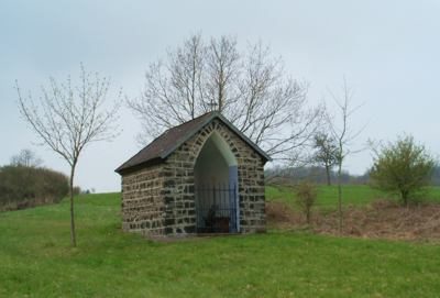
Dreifaltigkeitskapelle
Field Names
Hinter Buchholz bei der Weierwies
Field Names
Buchholzereck
Field Names