Geological Features · Undated
Naturschutz-Informationszentrum Mirbach
Ausgangspunkt D des GEO-PFAD

Description
This description is only available in German.
Translate with Google opens this page in Google Translate (external service)
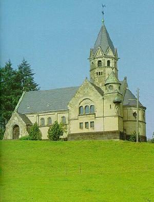
An der Kapelle in Mirbach sind Schautafeln im Infopavillon aufgestellt. Sie dienen als Einführung in Naturschutzgebiete um Mirbach. [1]
Classification
- Subject area
- Natural Features
- Category
- Geological Features
- Date
- Undatiert
- Period
- Undated
Location
- District
- Vulkaneifel
- Collective municipality
- Gerolstein
- Municipality
- Wiesbaum
- Locality / location
- Mirbach
- Field name
- Ortslage
- Coordinates
- WGS 84: 50.356002, 6.679513 (Position: exact) WGS 84: 50° 21′ 21.6″ N, 6° 40′ 46.2″ E UTM 32 (ETRS89): E 334937 · N 5580788
Sources
Data sources
- [1] Wanderkarte Nr. 16 des Eifelvereins. 1:25.000 "Urlaubsregion Hillesheim". Ausgabe 2001. ISBN 3-921805-18-X
On the internet
hillesheim.org/geopfad/gpindex.htm
Picture credits
- Picture 1: Verbandsgemeinde Hillesheim http://www.hillesheim.org/geopfad/gpindex.htm
Last edited: 7 Oct 2003 Object ID: 6747
https://kulturdb.de/en/objekt/6747-wiesbaum-naturschutz-informationszentrum-mirbach
Nearby
The nearest objects
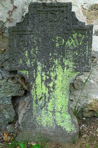 40 m
War Memorials
Friedhofskreuze (1)
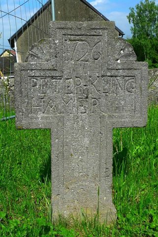 40 m
War Memorials
Friedhofskreuze (2)
 40 m
Groups of Trees
3 Eschen am Friedhof Mirbach
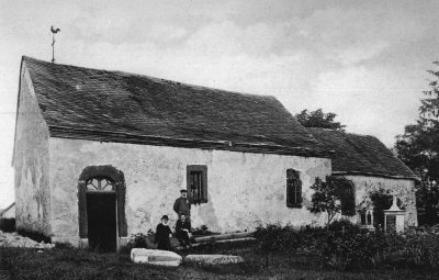 40 m
Chapels
Ehemalige Sebastian-Kapelle
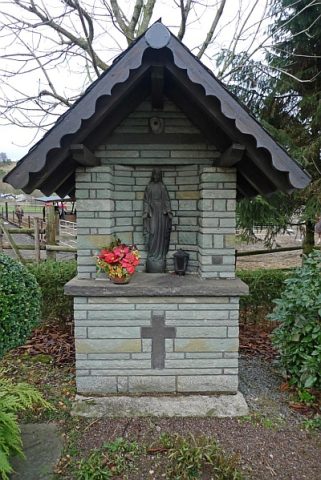 60 m
Wayside Shrines and Stations of the Cross
Marienbildstock
Wayside Shrine Houses
Heiligenhäuschen mit Marienfigur
 90 m
Chapels
Katholische Erlöserkapelle (1)
 90 m
Organs