Geological Features · 20th Century
Ditschbachschlucht
Aufschlusspunkt 5 des GEO-PFAD
- Listed monument


Description
This description is only available in German.
Translate with Google opens this page in Google Translate (external service)
Classification
- Subject area
- Natural Features
- Category
- Geological Features
- Date
- 21.01.1948 [Unterschutzstellung]
- Period
- 20th Century
Location
- District
- Vulkaneifel
- Collective municipality
- Gerolstein
- Municipality
- Dohm-Lammersdorf
- Locality / location
- Dohm
- Field name
- Beilstein
- Coordinates
- WGS 84: 50.252920, 6.648190 (Position: exact) WGS 84: 50° 15′ 10.5″ N, 6° 38′ 53.5″ E UTM 32 (ETRS89): E 332347 · N 5569398
Sources
Data sources
- [1] LANIS - Landschaftsinformationssysten der Naturschutzverwaltung Rheinland-Pfalz, 2015. http://www.naturschutz.rlp.de/?q=naturdenkmal
- [2] Wanderkarte Nr. 16 des Eifelvereins. 1:25.000 "Urlaubsregion Hillesheim". Ausgabe 2001. ISBN 3-921805-18-X
On the internet
hillesheim.org/geopfad/gpindex.htm
Picture credits
Last edited: 29 May 2015 Object ID: 6752
https://kulturdb.de/en/objekt/6752-dohm-lammersdorf-ditschbachschlucht
Nearby
The nearest objects
No picture
280 m
Field Names
Am Königsborn
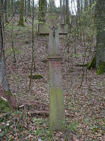 500 m
Wayside Shrines and Stations of the Cross
Sogenanntes Frunertskreuz
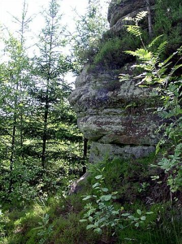 580 m
Rocks
Teufelsklippe
 580 m
Field Names
Im Haargarten
 580 m
Geological Features
Wolfsbeuel
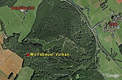 630 m
Volcanoes
Wolfsbeuel-Vulkan
No picture
770 m
Extraction and Processing of Raw Materials
Mühlsteinbruch Beilstein
No picture
790 m
Field Names