Dry Maars · Undated
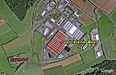
Gerolsteiner Maar

Description
This description is only available in German.
Translate with Google opens this page in Google Translate (external service)
GEO-PARK Verbandsgemeinde Gerolstein. [1]
Classification
- Subject area
- Natural Features
- Category
- Maars
- Object type
- Dry Maars
- Date
- Undatiert
- Period
- Undated
Location
- District
- Vulkaneifel
- Town
- Gerolstein
- Locality / location
- Bewingen
- Field name
- Am Kirschborn
- Coordinates
- WGS 84: 50.238970, 6.663829 (Position: exact) WGS 84: 50° 14′ 20.3″ N, 6° 39′ 49.8″ E UTM 32 (ETRS89): E 333413 · N 5567812
Sources
Data sources
- [1] Wanderkarte Nr. 19 des Eifelvereins. 1:25.000 "Vulkaneifel um Gerolstein". Ausgabe 1996.
On the internet
hillesheim.org/geopfad/gpindex.htm
Picture credits
- Picture 1: Google Earth
Last edited: 6 Dec 2007 Object ID: 6791
https://kulturdb.de/en/objekt/6791-gerolstein-gerolsteiner-maar
Nearby
The nearest objects
 160 m
Volcanoes
Vulkan Gerolsteiner Maar
No picture
260 m
Field Names
Am Kirschborn
No picture
480 m
Field Names
Ober dem Nollenborn
No picture
520 m
Field Names
Im schwarzen Morgen
No picture
570 m
Field Names
Im krummen Morgen
No picture
600 m
Field Names
Am Fronertsborn
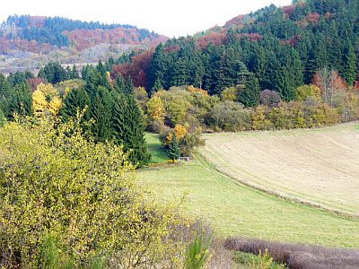 650 m
Field Names
Ober dem Nollenborn
No picture
660 m
Settlements