Dry Maars · Undated
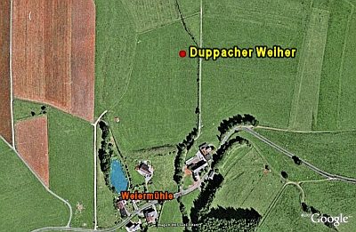
Duppacher Weiher

Classification
- Subject area
- Natural Features
- Category
- Maars
- Object type
- Dry Maars
- Date
- Undatiert
- Period
- Undated
Location
- District
- Vulkaneifel
- Collective municipality
- Gerolstein
- Municipality
- Duppach
- Locality / location
- Weiermühle
- Field name
- Auf Bremscheid
- Coordinates
- WGS 84: 50.266849, 6.581549 (Position: exact) WGS 84: 50° 16′ 00.7″ N, 6° 34′ 53.6″ E UTM 32 (ETRS89): E 327647 · N 5571099
Sources
Data sources
- [1] Wanderkarten im Maßstab 1:50.000 und 1:25.000
On the internet
Picture credits
- Picture 1: Google Earth
Last edited: 6 Dec 2007 Object ID: 6899
https://kulturdb.de/en/objekt/6899-duppach-duppacher-weiher
Nearby
The nearest objects
 110 m
Volcanoes
Vulkan Duppacher Weiher
No picture
160 m
Peat Cuttings
Ehemaliger Torfstich
 230 m
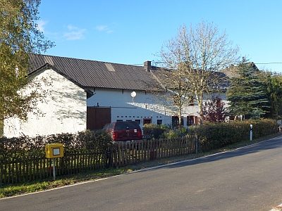
Mills
Weiermühle
No picture
260 m
Wayside Shrines and Stations of the Cross
Wegekreuz an der Weiermühle
 340 m
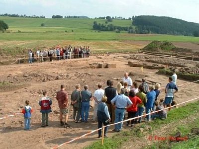
Settlements
Grabungen in Duppach-Weiermühle
 500 m
Settlements
Römische Siedlungsstelle
No picture
740 m
Field Names
Auf dem Hähnchen
No picture
740 m
Settlements