Town Fortifications · Gothic
Ehemalige Stadtbefestigung

Description
This description is only available in German.
Translate with Google opens this page in Google Translate (external service)
Nach 1332 errichtet, 1692 teilweise zerstört, nach dem Stadtbrand von 1818 als Steinbruch freigegeben. Ursprünglich sechzehn Türme und drei Tore; wenige Reste. [1]
Classification
- Subject area
- Architectural and Art Monuments
- Object type
- Town Fortifications
- Date
- Circa 1100 bis circa 1500
- Period
- Gothic
Location
- District
- Eifelkreis Bitburg-Prüm
- Collective municipality
- Südeifel
- Town
- Neuerburg
- Field name
- Ortslage
- Coordinates
- WGS 84: 50.012087, 6.294778 (Position: exact) WGS 84: 50° 00′ 43.5″ N, 6° 17′ 41.2″ E UTM 32 (ETRS89): E 306186 · N 5543481
Sources
Data sources
- [1] Georg Dehio: Handbuch der deutschen Kunstdenkmäler: Rheinland-Pfalz, Saarland, 1984. Deutscher Kunstverlag
On the internet
Picture credits
- Picture 1: Internet
Last edited: 4 Sep 2007 Object ID: 7221
https://kulturdb.de/en/objekt/7221-neuerburg-ehemalige-stadtbefestigung
Nearby
The nearest objects
Town Houses and Commercial Buildings
Eingangsachse
Town Houses and Commercial Buildings
Türflügel
Viewpoints
Aussichtsplattform Fort Wilhelm
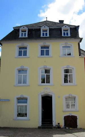 80 m
Town Houses and Commercial Buildings
Wohnhaus
Town Houses and Commercial Buildings
Dreigeschossiges Eckwohnhaus mit Walmdach
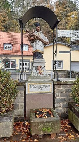 110 m
Wayside Shrines and Stations of the Cross
Johannes von Nepomuk am Enzbach
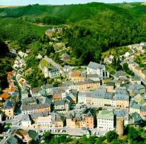 150 m
Jewish History
Jüdische Siedlung
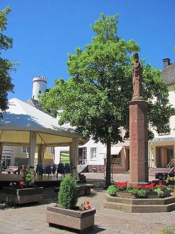 160 m
Wayside Shrines and Stations of the Cross