Legal Monuments · Undated
Wegekreuzung 3 Marken


Description
This description is only available in German.
Translate with Google opens this page in Google Translate (external service)
500 Meter nördlich der Hohen Wurzel. An dieser Stelle stoßen die Gemarkungen Osburg, Farschweiler und Beuren (Hochwald) aneinander. [1]
Classification
- Subject area
- History
- Category
- Legal Monuments
- Date
- Undatiert
- Period
- Undated
Location
- District
- Trier-Saarburg
- Collective municipality
- Hermeskeil
- Municipality
- Beuren (Hochwald)
- Locality / location
- Beuren
- Field name
- Auf der Höhe
- Coordinates
- WGS 84: 49.707787, 6.859387 (Position: exact) WGS 84: 49° 42′ 28.0″ N, 6° 51′ 33.8″ E UTM 32 (ETRS89): E 345667 · N 5508341
Sources
Data sources
- [1] Wanderkarte Naturpark Saar-Hunsrück und Ruwertal. Blatt Ruwer und Hermeskeil. M.: 1:35.000
On the internet
Picture credits
Last edited: 15 Mar 2012 Object ID: 7386
https://kulturdb.de/en/objekt/7386-beuren-hochwald-wegekreuzung-3-marken
Nearby
The nearest objects
Surveying
Trigonometrisches Signal Hohe Wurzel
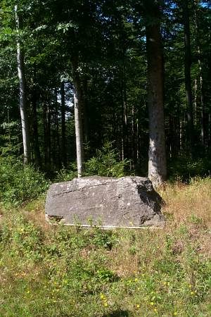 640 m
Standing Stones, Menhirs
Menhir
Exhibitions, Cultural Centres and Memorial Sites
Opfer des "Nacht- und Nebel"-Erlasses
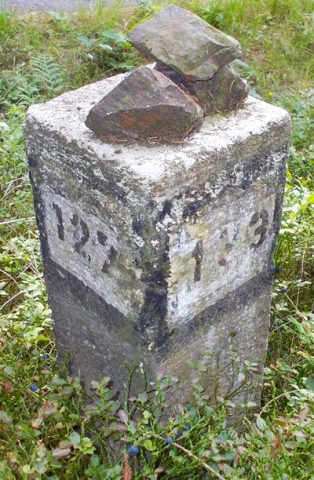 1,000 m
Surveying
Grenzstein Forstbezirke
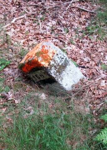 1.2 km
Surveying
Grenzstein Forstbezirk 106
Fortresses and Bunkers
Westwall - Maschinengewehr-Schartenstand
Fossils
Fundstellen tierischer Versteinerungen
Field Names