Mills · Historicism / Art Nouveau
Eschermühle
Hargartenmühle am Birbach


© GeoBasis-DE / LVermGeoRP, dl-de/by-2-0
There is no picture of this object yet. Do you have a photo that you would like to make available to the Kulturdatenbank? Submit a picture
Description
This description is only available in German.
Translate with Google opens this page in Google Translate (external service)
Die Escher Mühle ist eine Kombination aus Mahlmühle und Sägemühle. Die Mahlmühle ist seit den 60er Jahren stillgelegt. Die Sägemühle ist noch voll funktionsfähig. Die Anlage wird mittels einer wassergetriebenen Flügelturbine betrieben. Das Wasser wird aus einem kleinen Stausee etwas oberhalb der Mühle entnommen. Der Mühle war früher auch eine Schmiede angeschlossen. [1]
Classification
- Subject area
- Architectural and Art Monuments
- Object type
- Mills
- Date
- 1893
Location
- District
- Vulkaneifel
- Collective municipality
- Gerolstein
- Municipality
- Esch (Vulkaneifel)
- Locality / location
- Eschermühle (Hargartenmühle)
- Field name
- In der verbrannten Heide
- Coordinates
- WGS 84: 50.362280, 6.584550 (Position: exact) WGS 84: 50° 21′ 44.2″ N, 6° 35′ 04.4″ E UTM 32 (ETRS89): E 328205 · N 5581701
Sources
Data sources
- [1] © Marzellus Boos http://www.eifeltour.de/
- [2] Königlich Preussische Landesaufnahme 1893-95
On the internet
Last edited: 23 Dec 2015 Object ID: 7600
https://kulturdb.de/en/objekt/7600-esch-vulkaneifel-eschermuehle
Nearby
The nearest objects
Field Names
In der verbrannten Heide
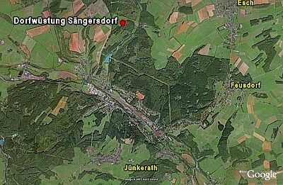 490 m
Deserted Settlements
Dorfwüstung Sängersdorf
Field Names
Am Krummenstück
Field Names
Im Salzenpütz
Field Names
Im Solborn
 1.2 km
Beeches
Buche
1.2 km
Beeches
Buche
 1.3 km
Field Names