Mills · Baroque / Rococo
Ranzenmühle an der Salm


© GeoBasis-DE / LVermGeoRP, dl-de/by-2-0
There is no picture of this object yet. Do you have a photo that you would like to make available to the Kulturdatenbank? Submit a picture
Description
This description is only available in German.
Translate with Google opens this page in Google Translate (external service)
Im Jahre 1771 wurde die Ranzenmühle erbaut. Die Mühle war 1937 zuständig für die Orte: Hupperath und Minderlittgen.
Classification
- Subject area
- Architectural and Art Monuments
- Object type
- Mills
- Date
- 1771
- Period
- Baroque / Rococo
Location
- District
- Bernkastel-Wittlich
- Collective municipality
- Wittlich-Land
- Municipality
- Hupperath
- Locality / location
- Ranzenmühle
- Field name
- Auf der Ranz
- Coordinates
- WGS 84: 49.992372, 6.800650 (Position: exact) WGS 84: 49° 59′ 32.5″ N, 6° 48′ 02.3″ E UTM 32 (ETRS89): E 342361 · N 5540101
Sources
Data sources
- Günter Hesse, Andreas Wisniewski: Wittlich-Land. Geschichte einer Verbandsgemeinde zwischen Vulkaneifel und Mosel. Hrsg. Verbandsgemeinde Wittlich-Land 1990.
On the internet
Last edited: 22 Nov 2003 Object ID: 7766
https://kulturdb.de/en/objekt/7766-hupperath-ranzenmuehle-an-der-salm
Nearby
The nearest objects
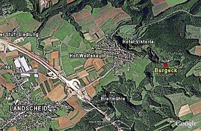 200 m
Spur Castles
Burgeck
Mills
Heisterer- oder Herbstmühle
Mills
Burger Mühle im Salmtal
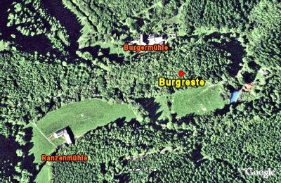 280 m
Castles
Burgreste
Field Names
Krummenstück
Field Names
Hielenpesch
Wayside Shrines and Stations of the Cross
Wegekreuz
Catering, Inns and Hotels