Maar Lakes · Undated
Holzmaar (1)
Naturschutzgebiet
- Protection of cultural property (Hague Convention)
- Listed monument


Description
This description is only available in German.
Translate with Google opens this page in Google Translate (external service)
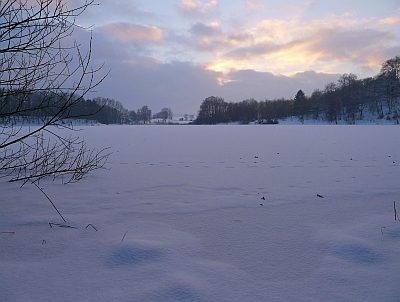
Wasserfläche 6,8 Hektar, Tiefe 21 Meter, Durchmesser 325 Meter. Dieses Maar hat sowohl einen Zu- als auch einen Abfluss [Letztes Bild]. Naturschutzgebiet (Holzmaar und Umgebung).
Classification
- Subject area
- Natural Features
- Category
- Maars
- Object type
- Maar Lakes
- Date
- Undatiert
- Period
- Undated
Location
- District
- Vulkaneifel
- Collective municipality
- Daun
- Municipality
- Gillenfeld
- Field name
- [Holzmaar]
- Coordinates
- WGS 84: 50.119132, 6.878494 (Position: exact) WGS 84: 50° 07′ 08.9″ N, 6° 52′ 42.6″ E UTM 32 (ETRS89): E 348340 · N 5554032
Sources
Data sources
- Karte Vulkaneifel, Sehenswürdigkeiten, Daun 1996
On the internet
Picture credits
Last edited: 5 Nov 2010 Object ID: 777
https://kulturdb.de/en/objekt/777-gillenfeld-holzmaar-1
Nearby
The nearest objects
 less than 10 m
Maar Lakes
Holzmaar (2)
20 m
Volcanoes
Vulkan Holzmaar
No picture
220 m
Find Sites
Römische Streufunde
No picture
430 m
Field Names
Holzmaarstall
 510 m
Wayside Shrine Houses
Steipen-Heiligenhäuschen am Holzmaar (1)
 510 m
Wayside Shrine Houses
Steipen-Heiligenhäuschen am Holzmaar (2)
 540 m
Mills
Holzmühle am Holzmaar (1)
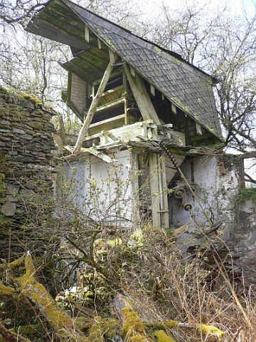 540 m
Mills