Dry Maars · Undated
Dürres Maar
Naturschutzgebiet
- Listed monument


Description
This description is only available in German.
Translate with Google opens this page in Google Translate (external service)
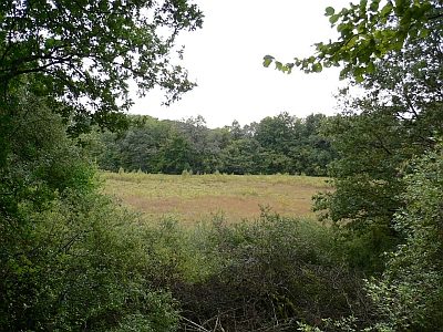
Hierbei handelt es sich um einen früheren Maarsee, der in der Zwischenzeit verlandet ist und heute eine typische Hochmoorvegetation zeigt.
Betretungsverbot.
Classification
- Subject area
- Natural Features
- Category
- Maars
- Object type
- Dry Maars
- Date
- Undatiert
- Period
- Undated
Location
- District
- Vulkaneifel
- Collective municipality
- Daun
- Municipality
- Gillenfeld
- Field name
- Das Dermärchen
- Coordinates
- WGS 84: 50.122688, 6.871987 (Position: exact) WGS 84: 50° 07′ 21.7″ N, 6° 52′ 19.2″ E UTM 32 (ETRS89): E 347886 · N 5554440
Sources
Data sources
- Karte Vulkaneifel, Sehenswürdigkeiten, Daun 1996
On the internet
Picture credits
Last edited: 3 Dec 2010 Object ID: 778
https://kulturdb.de/en/objekt/778-gillenfeld-duerres-maar
Nearby
The nearest objects
 30 m
Dry Maars
Vulkan Dürres Maar
Extraction and Processing of Raw Materials
Ehemalige Kiesgrube am Dürren Maar
 230 m
Dry Maars
Hitsche Maar oder Hetschenmärchen
240 m
Volcanoes
Vulkan Hitsche Maar oder Hetschenmärchen
 250 m
Wayside Shrine Houses
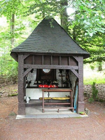
Steipen-Heiligenhäuschen am Holzmaar (1)
 250 m
Wayside Shrine Houses
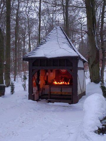
Steipen-Heiligenhäuschen am Holzmaar (2)
Find Sites
Fundstreuung Auf Sengenheck
 300 m
Pilgrimage Routes