Deserted Settlements · Neoclassicism
Wüstung Oberweiler


© GeoBasis-DE / LVermGeoRP, dl-de/by-2-0
There is no picture of this object yet. Do you have a photo that you would like to make available to the Kulturdatenbank? Submit a picture
Description
This description is only available in German.
Translate with Google opens this page in Google Translate (external service)
Identisch mit dem heutigen Oberweiler. 1680 verzeichnet die Karte von Dankers Overwiller zwischen Kirchweiler und Dockweiler. [1]
Classification
- Subject area
- Archaeological Monuments
- Category
- Settlements
- Object type
- Deserted Settlements
- Date
- Circa 1750 bis 1850
- Period
- Neoclassicism
Location
- District
- Vulkaneifel
- Collective municipality
- Daun
- Municipality
- Hinterweiler
- Field name
- Ortslage
- Coordinates
- WGS 84: 50.236607, 6.756308 (Position: exact) WGS 84: 50° 14′ 11.8″ N, 6° 45′ 22.7″ E UTM 32 (ETRS89): E 339999 · N 5567347
Sources
Data sources
- [1] Janssen, W.: Studien zur Wüstungsfrage im fränkischen Altsiedelland zwischen Rhein, Mosel und Eifelnordrand. 2 Bände. Text u. Katalog, 1975.
On the internet
Last edited: 17 Apr 2001 Object ID: 785
https://kulturdb.de/en/objekt/785-hinterweiler-wuestung-oberweiler
Nearby
The nearest objects
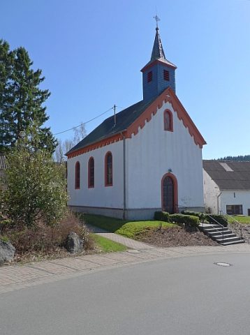 20 m
Catholic Churches
Sankt Johannes (1)
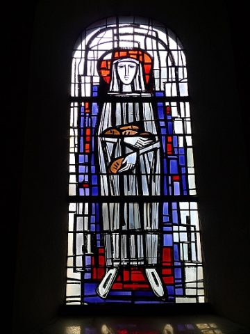 20 m
Catholic Churches
Sankt Johannes (2)
 30 m
Field Names
Auf dem Beiengarten
Field Names
Traufständiger Streckhof
Field Names
Im Hunzenpesch
Wayside Shrines and Stations of the Cross
Wegekreuz
Wayside Shrines and Stations of the Cross
Wegekreuz
Wayside Shrines and Stations of the Cross