Deserted Settlements · Renaissance
Wüstung Robishof


Description
This description is only available in German.
Translate with Google opens this page in Google Translate (external service)
1632 durch die Schweden verbrannt und nicht mehr aufgebaut. Mit Wollmerath, Filz, Wagenhausen, Niederwinkel und den Höfen Oberwinkel, Waltersburg Lanzenthal gehörte der Hof zur Herrschaft Wollmerath. [1]
Classification
- Subject area
- Archaeological Monuments
- Category
- Settlements
- Object type
- Deserted Settlements
- Date
- 1632
- Period
- Renaissance
Location
- District
- Vulkaneifel
- Collective municipality
- Daun
- Municipality
- Winkel (Eifel)
- Locality / location
- Winkel
- Field name
- Ortslage
- Coordinates
- WGS 84: 50.145342, 6.942336 (Position: presumed) WGS 84: 50° 08′ 43.2″ N, 6° 56′ 32.4″ E UTM 32 (ETRS89): E 352984 · N 5556818
Sources
Data sources
- [1] Janssen, W.: Studien zur Wüstungsfrage im fränkischen Altsiedelland zwischen Rhein, Mosel und Eifelnordrand. 2 Bände. Text u. Katalog, 1975.
On the internet
Picture credits
Last edited: 7 Oct 2003 Object ID: 816
https://kulturdb.de/en/objekt/816-winkel-eifel-wuestung-robishof
Nearby
The nearest objects
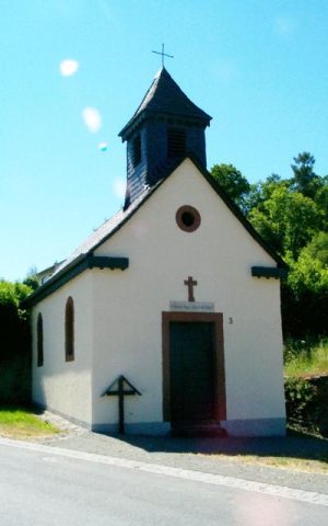 60 m
Chapels
Ehemalige Hofgutkapelle
Field Names
Am Reischborn
Field Names
Im Hundsberg
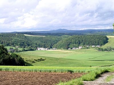 430 m
Dry Maars
Winkeler Maar
Maars
Maar von Oberwinkel
Field Names
Aufm Hundsberg
Wayside Shrines and Stations of the Cross
Wegekreuz
Volcanoes