Mills · Renaissance
Ehemalige Mühle
Wüstung

Description
This description is only available in German.
Translate with Google opens this page in Google Translate (external service)
1632 durch die Schweden verbrannt. [1]
Classification
- Subject area
- Archaeological Monuments
- Object type
- Mills
- Date
- 1632
- Period
- Renaissance
Location
- District
- Vulkaneifel
- Collective municipality
- Daun
- Municipality
- Winkel (Eifel)
- Locality / location
- Niederwinkel
- Field name
- Auf dem Rech
- Coordinates
- WGS 84: 50.147017, 6.957340 (Position: presumed) WGS 84: 50° 08′ 49.3″ N, 6° 57′ 26.4″ E UTM 32 (ETRS89): E 354061 · N 5556974
Sources
Data sources
- [1] Janssen, W.: Studien zur Wüstungsfrage im fränkischen Altsiedelland zwischen Rhein, Mosel und Eifelnordrand. 2 Bände. Text u. Katalog, 1975.
On the internet
Picture credits
- Picture 1: http://www.daun.de/vgv/tourist/galerie/index.html
Last edited: 7 Oct 2003 Object ID: 818
https://kulturdb.de/en/objekt/818-winkel-eifel-ehemalige-muehle
Nearby
The nearest objects
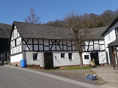 60 m
Farmhouses and Farm Buildings
Fachwerkhaus-Scheune
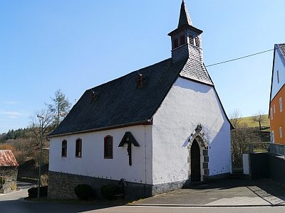 70 m
Catholic Churches
Sankt Apollonia
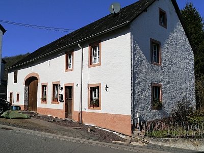 100 m
Farmhouses and Farm Buildings
Quereinhaus
No picture
130 m
Farmhouses and Farm Buildings
Trierer Haus
No picture
150 m
Field Names
Ober dem Borngarten
No picture
150 m
Wayside Shrines and Stations of the Cross
Wegekreuz
No picture
160 m
Wayside Shrines and Stations of the Cross
Wegekreuz am Friedhof
No picture
180 m
Wayside Shrines and Stations of the Cross