Rocks · Undated
Hunolay


Classification
- Subject area
- Natural Features
- Category
- Rocks
- Date
- Undatiert
- Period
- Undated
Location
- District
- Eifelkreis Bitburg-Prüm
- Collective municipality
- Südeifel
- Municipality
- Bollendorf
- Field name
- Auf Hermeschdälchen
- Coordinates
- WGS 84: 49.854154, 6.368586 (Position: exact) WGS 84: 49° 51′ 15.0″ N, 6° 22′ 06.9″ E UTM 32 (ETRS89): E 310856 · N 5525736
Sources
Data sources
- [1] GeoPortal des Landes Rheinland-Pfalz. http://www.geoportal.rlp.de/
On the internet
Picture credits
Last edited: 23 Apr 2004 Object ID: 8338
https://kulturdb.de/en/objekt/8338-bollendorf-hunolay
Nearby
The nearest objects
No picture
210 m
Fortresses and Bunkers
Westwall - Schartenturm
No picture
320 m
Field Names
Stockenborn
No picture
330 m
Fortresses and Bunkers
Westwall - Bunker ohne Kampfraum
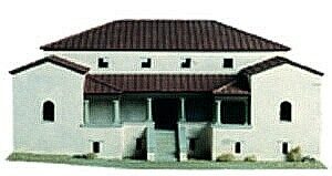 340 m
Settlements
Herrenhaus eines römischen Gutshofs
No picture
340 m
Settlements
Villa Rustica
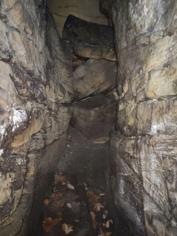 390 m
Rocks
Derborg
No picture
390 m
Rocks
Bildcheslay - 2. Abschnitt
No picture
400 m
Rocks