Burial Mounds · Early Middle Ages / Romanesque
Fränkischer Friedhof
- Listed monument


© GeoBasis-DE / LVermGeoRP, dl-de/by-2-0
There is no picture of this object yet. Do you have a photo that you would like to make available to the Kulturdatenbank? Submit a picture
Classification
- Subject area
- Archaeological Monuments
- Category
- Burials
- Object type
- Burial Mounds
- Date
- 6./7. Jahrhundert
Location
- District
- Eifelkreis Bitburg-Prüm
- Collective municipality
- Bitburger Land
- Municipality
- Wettlingen
- Field name
- Gemeindeberg
- Coordinates
- WGS 84: 49.930907, 6.406457 (Position: presumed) WGS 84: 49° 55′ 51.3″ N, 6° 24′ 23.2″ E UTM 32 (ETRS89): E 313873 · N 5534173
Sources
Data sources
- Führer zu den vor- und frühgeschichtlichen Denkmälern. Band 33. Südwestliche Eifel. Hrsg. Römisch-Germanisches Zentralmuseum Mainz. Verlag Philipp von Zabern, Mainz. 1977. ISBN 3-8053-0302-5
On the internet
Last edited: 28 May 2004 Object ID: 8434
https://kulturdb.de/en/objekt/8434-wettlingen-fraenkischer-friedhof
Nearby
The nearest objects
 140 m
Place Names / Local History
Ortsgeschichte Wettlingen
 140 m
Settlements
Römische Siedlungsreste
140 m
Coats of Arms
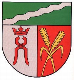
Wappen der Gemeinde Wettlingen
 140 m
Farmhouses and Farm Buildings
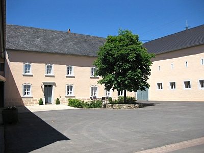
Winkelhof - Haus Nr. 14
No picture
140 m
Farmhouses and Farm Buildings
Portal von 1906
No picture
180 m
Field Names
Auf dem Bungert
 180 m
Farmhouses and Farm Buildings
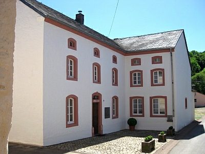
Gehöft von 1786
 190 m
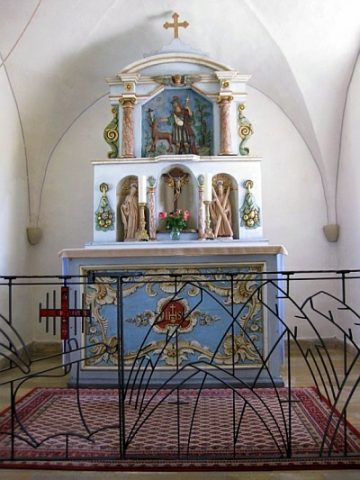
Catholic Churches