Dry Maars · Undated
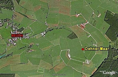
Dehner Maar


Classification
- Subject area
- Natural Features
- Category
- Maars
- Object type
- Dry Maars
- Date
- Undatiert
- Period
- Undated
Location
- District
- Vulkaneifel
- Collective municipality
- Gerolstein
- Municipality
- Reuth
- Field name
- Im Dehner
- Coordinates
- WGS 84: 50.292355, 6.506474 (Position: exact) WGS 84: 50° 17′ 32.5″ N, 6° 30′ 23.3″ E UTM 32 (ETRS89): E 322393 · N 5574111
Sources
Data sources
- [1] GeoPortal des Landes Rheinland-Pfalz. http://www.geoportal.rlp.de/
On the internet
Picture credits
Last edited: 6 Dec 2007 Object ID: 8502
https://kulturdb.de/en/objekt/8502-reuth-dehner-maar
Nearby
The nearest objects
 230 m
Volcanoes
Vulkan Dehner Maar
No picture
500 m
Field Names
Steinkaul
 570 m
Road Transport
Weinstraße (12)
No picture
830 m
Ancient Field Systems
Flurwüstung Merscheid
No picture
880 m
Field Names
Im Rossmaar
No picture
1.1 km
Field Names
Wolfsseifen
No picture
1.2 km
Field Names
Im Wolfsseifen
 1.4 km
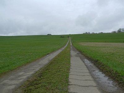
Dry Maars