Mills · Neoclassicism
Ehemalige Vollmühle am Geeser Bach
Mahlmühle


© GeoBasis-DE / LVermGeoRP, dl-de/by-2-0
There is no picture of this object yet. Do you have a photo that you would like to make available to the Kulturdatenbank? Submit a picture
Description
This description is only available in German.
Translate with Google opens this page in Google Translate (external service)
Die Vollmühle an der Kyll oberhalb der Pinten Mühle, verzeichnet in der Tranchot-Karte Anfang des 19. Jahrhunderts.
[...]
Der letzte Müller Josef Blumenthal legte die Mühle 1960 still.
Classification
- Subject area
- Architectural and Art Monuments
- Object type
- Mills
- Date
- 1818 [Tranchot-Karte]
- Period
- Neoclassicism
Location
- District
- Vulkaneifel
- Collective municipality
- Gerolstein
- Municipality
- Pelm
- Street
- Mühlenweg 10
- Field name
- Im runden Wieschen
- Coordinates
- WGS 84: 50.225643, 6.687663 (Position: exact) WGS 84: 50° 13′ 32.3″ N, 6° 41′ 15.6″ E UTM 32 (ETRS89): E 335067 · N 5566278
Sources
Data sources
- Gerten, Wisniewski, Höster: Die Kyll-Geschichte und Geschichten um einen Eifeler Wasserlauf. Hrsg.: Bernd Spindler, Verbandsgemeinde Kyllburg, Oktober 2006.
On the internet
Last edited: 2 Dec 2008 Object ID: 8945
https://kulturdb.de/en/objekt/8945-pelm-ehemalige-vollmuehle-am-geeser-bach
Nearby
The nearest objects
Field Names
Im Winkel
Field Names
Aufm Winkel
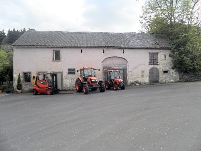 320 m
Mills
Ehemalige Schneidemühle am Geesbach
Field Names
Im Grundacker 1. Gewann
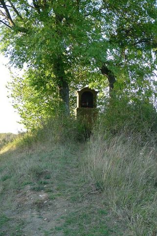 340 m
Wayside Shrine Houses
Heiligenhäuschen am Mühlenbach
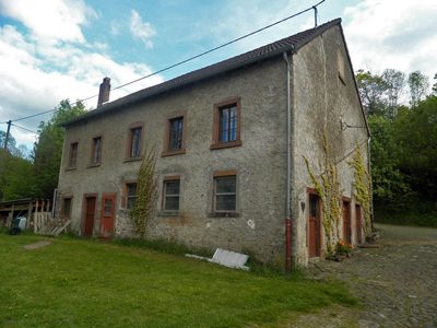 380 m
Mills
Ehemalige Pintenmühle
Field Names
Im Auel an der Kirch
Settlements