Rocks · Undated
Kopusfels


© GeoBasis-DE / LVermGeoRP, dl-de/by-2-0
There is no picture of this object yet. Do you have a photo that you would like to make available to the Kulturdatenbank? Submit a picture
Classification
- Subject area
- Natural Features
- Category
- Rocks
- Date
- Undatiert
- Period
- Undated
Location
- District
- Bernkastel-Wittlich
- Collective municipality
- Einheitsgemeinde Morbach
- Municipality
- Morbach
- Locality / location
- Merscheid
- Field name
- Schrittwacken
- Coordinates
- WGS 84: 49.803768, 7.051972 (Position: exact) WGS 84: 49° 48′ 13.6″ N, 7° 03′ 07.1″ E UTM 32 (ETRS89): E 359828 · N 5518634
Sources
Data sources
- [1] GeoPortal des Landes Rheinland-Pfalz. http://www.geoportal.rlp.de/
On the internet
Last edited: 11 Oct 2004 Object ID: 9024
https://kulturdb.de/en/objekt/9024-morbach-kopusfels
Nearby
The nearest objects
No picture
280 m
Mills
Ehemalige Scheidenthaler Mühle an der Dhron
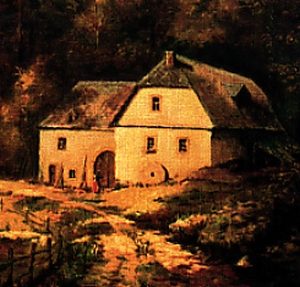 340 m
Mills
Reinhardsmühle im Dhrontal
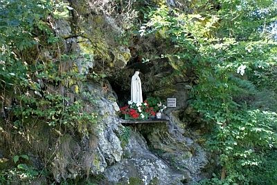 360 m
Marian Grottoes
Mariengrotte an der Reinhardsmühle
No picture
360 m
Road Transport
Matheisbrücke
No picture
400 m
Field Names
Am Eselsborn
No picture
450 m
Field Names
Leimkaul
No picture
490 m
Field Names
Am Neuenborn
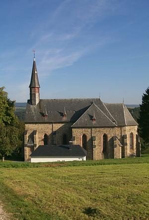 530 m
Catholic Churches