Historic Townscapes · Baroque / Rococo
Ortsbild


© GeoBasis-DE / LVermGeoRP, dl-de/by-2-0
There is no picture of this object yet. Do you have a photo that you would like to make available to the Kulturdatenbank? Submit a picture
Description
This description is only available in German.
Translate with Google opens this page in Google Translate (external service)
Geprägt durch einfache Fachwerkhäuser aus dem 18. / 19. Jahrhundert. [1]
Classification
- Subject area
- Architectural and Art Monuments
- Category
- Historic Townscapes
- Date
- Circa 1700 bis circa 1780
- Period
- Baroque / Rococo
Location
- District
- Vulkaneifel
- Collective municipality
- Gerolstein
- Municipality
- Dohm-Lammersdorf
- Locality / location
- Lammersdorf
- Field name
- Ortslage
- Coordinates
- WGS 84: 50.262441, 6.662683 (Position: within the village) WGS 84: 50° 15′ 44.8″ N, 6° 39′ 45.7″ E UTM 32 (ETRS89): E 333413 · N 5570424
Sources
Data sources
- [1] Georg Dehio: Handbuch der deutschen Kunstdenkmäler: Rheinland-Pfalz, Saarland, 1984. Deutscher Kunstverlag
On the internet
Last edited: 7 Oct 2003 Object ID: 934
https://kulturdb.de/en/objekt/934-dohm-lammersdorf-ortsbild
Nearby
The nearest objects
Wayside Shrines and Stations of the Cross
Schaftkreuz
Town Fortifications
Reste einer Burgstelle
Field Names
Auf der Acht
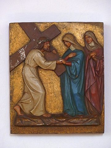 200 m
Catholic Churches
Sankt Remigius - Kreuzweg (1)
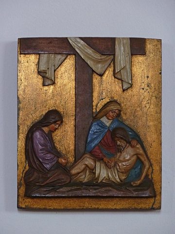 200 m
Catholic Churches
Sankt Remigius - Kreuzweg (3)
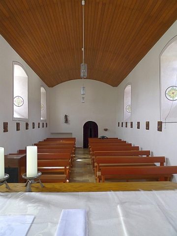 200 m
Catholic Churches
Sankt Remigius (2)
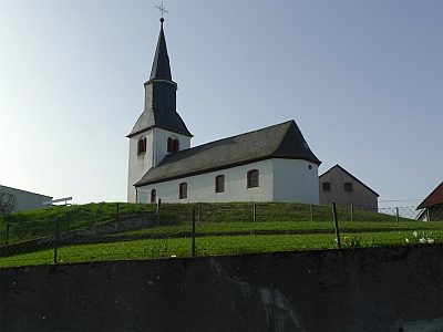 200 m
Volcanoes
Vulkan Dohm
Wayside Shrines and Stations of the Cross