Wayside Shrines and Stations of the Cross · Baroque / Rococo
Wegekreuz von 1739
- Listed monument


Description
This description is only available in German.
Translate with Google opens this page in Google Translate (external service)
Das aus rotem Sandstein gearbeitete, eine Straßengabel markierende Wegekreuz mit konvergierendem Schaft trägt unterhalb der Arme des Korpus die Datierung 1739 auf dem Balken. [1]
Classification
- Subject area
- Architectural and Art Monuments
- Category
- Religious Buildings
- Object type
- Wayside Shrines and Stations of the Cross
- Date
- 1739
- Period
- Baroque / Rococo
Location
- District
- Eifelkreis Bitburg-Prüm
- Collective municipality
- Verbandsfreie Gemeinde Bitburg
- Town
- Bitburg
- Locality / location
- Masholder
- Street
- Gegenüber Tannenstraße 8
- Field name
- Ortslage
- Coordinates
- WGS 84: 49.949756, 6.517061 (Position: exact) WGS 84: 49° 56′ 59.1″ N, 6° 31′ 01.4″ E UTM 32 (ETRS89): E 321879 · N 5536000
Sources
Data sources
- [1] Denkmaltopographie Bundesrepublik Deutschland, Kulturdenkmäler in Rheinland-Pfalz, Kreis Bitburg-Prüm, 9.2 Wernersche Verlagsgesellschaft 1994. ISBN 3-88462-132-7
On the internet
Picture credits
Last edited: 17 Oct 2022 Object ID: 9550
https://kulturdb.de/en/objekt/9550-bitburg-wegekreuz-von-1739
Nearby
The nearest objects
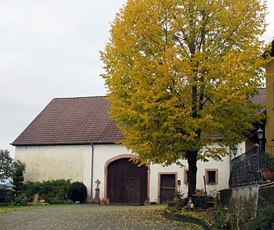 40 m
Wayside Shrines and Stations of the Cross
Wegekreuz an Scheune
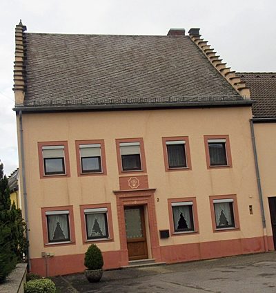 80 m
Farmhouses and Farm Buildings
Treppengiebelhaus von 1813
Farmhouses and Farm Buildings
Winkelhof von 1788
Farmhouses and Farm Buildings
Winkelhof
Farmhouses and Farm Buildings
Großbäuerliches Wohnhaus Burengasse 1
Historic Townscapes
Denkmalzone Ortskern Masholder
Farmhouses and Farm Buildings
Streugehöft
 150 m
Catholic Churches