Deserted Settlements · Gothic
Wüstung Orendorf

Description
This description is only available in German.
Translate with Google opens this page in Google Translate (external service)
1254 wird ein Wirich von Urindorp erwähnt. Orendorf hat angeblich südöstlich von Walsdorf auf dem Orenberg gelegen. [1]
Classification
- Subject area
- Archaeological Monuments
- Category
- Settlements
- Object type
- Deserted Settlements
- Date
- Circa 1100 bis circa 1500
- Period
- Gothic
Location
- District
- Vulkaneifel
- Collective municipality
- Gerolstein
- Municipality
- Walsdorf
- Field name
- Auf Orenberg
- Coordinates
- WGS 84: 50.275784, 6.716878 (Position: exact) WGS 84: 50° 16′ 32.8″ N, 6° 43′ 00.8″ E UTM 32 (ETRS89): E 337321 · N 5571788
Sources
Data sources
- [1] Janssen, W.: Studien zur Wüstungsfrage im fränkischen Altsiedelland zwischen Rhein, Mosel und Eifelnordrand. 2 Bände. Text u. Katalog, 1975.
On the internet
Picture credits
- Picture 1: Google Earth
Last edited: 5 Jun 2007 Object ID: 962
https://kulturdb.de/en/objekt/962-walsdorf-wuestung-orendorf
Nearby
The nearest objects
No picture
40 m
Viewpoints
Aussichtspunkt Orenberg
No picture
70 m
Wayside Shrines and Stations of the Cross
Wegekreuz
No picture
160 m
War Memorials
Friedhofskreuz
No picture
350 m
Field Names
Am Pfaffenbäumchen
No picture
410 m
Field Names
Zu den Roden
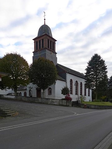 430 m
Catholic Churches
Sankt Arnulph
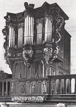 430 m
Organs
Orgelprospekt in Sankt Arnulph
No picture
570 m
Field Names