Deserted Settlements · Neoclassicism
Wüstung Seckerath

Description
This description is only available in German.
Translate with Google opens this page in Google Translate (external service)
Vermutete Wüstung Seckerath. [1]
Classification
- Subject area
- Archaeological Monuments
- Category
- Settlements
- Object type
- Deserted Settlements
- Date
- Circa 1750 bis 1850
- Period
- Neoclassicism
Location
- District
- Vulkaneifel
- Collective municipality
- Gerolstein
- Municipality
- Wiesbaum
- Locality / location
- Mirbach
- Field name
- Auf der Nossheck
- Coordinates
- WGS 84: 50.354010, 6.669649 (Position: presumed) WGS 84: 50° 21′ 14.4″ N, 6° 40′ 10.7″ E UTM 32 (ETRS89): E 334229 · N 5580589
Sources
Data sources
- [1] Janssen, W.: Studien zur Wüstungsfrage im fränkischen Altsiedelland zwischen Rhein, Mosel und Eifelnordrand. 2 Bände. Text u. Katalog, 1975.
On the internet
Picture credits
- Picture 1: Google Earth
Last edited: 29 Aug 2006 Object ID: 969
https://kulturdb.de/en/objekt/969-wiesbaum-wuestung-seckerath
Nearby
The nearest objects
 80 m
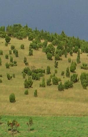
Juniper Heaths
Wacholderschutzgebiet Auf Seckerath
No picture
120 m
Field Names
Auf Seckerath
No picture
280 m
Field Names
Am Kalk
No picture
430 m
Field Names
Am Essborn
 620 m
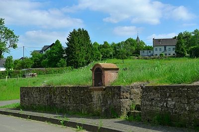
Wayside Shrine Houses
Heiligenhäuschen von 1761
650 m
Juniper Heaths
Wacholdergebiet am Hang des Dürren Berges
No picture
730 m
Field Names
Im Backespesch
 840 m
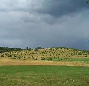
Juniper Heaths