Museums · Undated
Bauernmuseum

Description
This description is only available in German.
Translate with Google opens this page in Google Translate (external service)
Öffentlich zugängliche Privatsammlung bäuerlicher und handwerklicher Gerätschaften.
Classification
- Subject area
- Architectural and Art Monuments
- Category
- Educational Institutions
- Object type
- Museums
- Date
- Undatiert
- Period
- Undated
Location
- District
- Vulkaneifel
- Collective municipality
- Kelberg
- Municipality
- Mannebach (Vulkaneifel)
- Locality / location
- Mannebach
- Street
- Dorfstraße 7
- Field name
- Ortslage
- Coordinates
- WGS 84: 50.282159, 6.985459 (Position: exact) WGS 84: 50° 16′ 55.8″ N, 6° 59′ 07.7″ E UTM 32 (ETRS89): E 356476 · N 5571944
Sources
Data sources
- Eifelführer, 1995
On the internet
vgv-kelberg.de/vg_kelberg/Gemeinden/Mannebach
Picture credits
- Picture 1: Internet
Last edited: 7 Oct 2003 Object ID: 989
https://kulturdb.de/en/objekt/989-mannebach-vulkaneifel-bauernmuseum
Nearby
The nearest objects
Wayside Shrines and Stations of the Cross
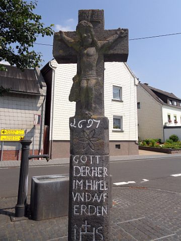
Wegekreuz
 80 m
Commemorative Plantings
Kaiserlinde mit Gedenkstein
 80 m
Wayside Shrines and Stations of the Cross
Wegekreuz
Farmhouses and Farm Buildings
Fachwerkhaus
Place Names / Local History
Ortsgeschichte Mannebach
 100 m
Coats of Arms
Wappen der Gemeinde Mannebach
 190 m
Wayside Shrines and Stations of the Cross
Schaftkreuz
Field Names